
Ehem. Schule, in den Formen der Klenzeschen Palastarchitektur, 1827–1829 von Ulrich Himbsel; für die Bayerische Handelsbank 1962 umgebaut
Location: Munich
Address: Von-der-Tann-Straße 2
GPS coordinates: 48.14539,11.57971
Latest update: April 16, 2025 03:42


Herzog-Max-Palais
89 m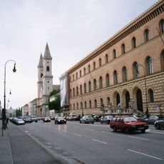
Ludwigstraße
65 m
Leuchtenberg Gallery
205 m
Dichtergarten
210 m
Krankenhaus Josephinum München
125 m
Deutsches Theatermuseum
201 m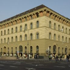
Haslauer-Block
38 m
Ludwigstraße 21
217 m
Bayerisches Staatsministerium für Ernährung, Landwirtschaft und Forsten
85 m
Bayerisches Landessozialgericht
113 m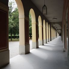
Hofgartenarkaden
190 m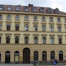
Ludwigstraße 11
101 m
Kaulbachstraße 1
210 m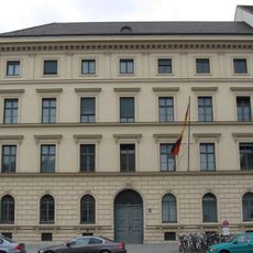
Ludwigstraße 1
183 m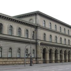
Ehem. Kriegsministerium, jetzt Staatsarchiv München
116 m
Ludwigstraße 3
162 m
Ehem. Wohnhaus, jetzt Büro- und Geschäftshaus
140 m
Ehem. Wohnhaus, jetzt Teil des Bayer. Staatsministeriums des Inneren
116 m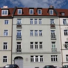
Mietshaus
137 m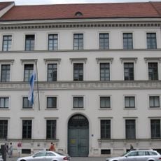
Ludwigstraße 5
153 m
Stattliches Mietshaus
101 m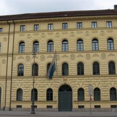
Ludwigstraße 17
139 m
Ehem. Wohnhaus, jetzt Bürogebäude
155 m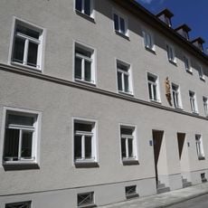
Doppelhaus
151 m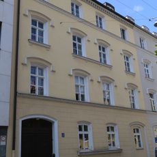
Fürstenstraße 3
212 m
Eckbau
155 m
Mietshaus
212 m
Mietshaus
181 mReviews
Visited this place? Tap the stars to rate it and share your experience / photos with the community! Try now! You can cancel it anytime.
Discover hidden gems everywhere you go!
From secret cafés to breathtaking viewpoints, skip the crowded tourist spots and find places that match your style. Our app makes it easy with voice search, smart filtering, route optimization, and insider tips from travelers worldwide. Download now for the complete mobile experience.

A unique approach to discovering new places❞
— Le Figaro
All the places worth exploring❞
— France Info
A tailor-made excursion in just a few clicks❞
— 20 Minutes