
Wohnteil des Bauernhauses, building in Bad Aibling, Upper Bavaria, Germany
Location: Bad Aibling
Address: Heinrichsdorfer Straße 12
GPS coordinates: 47.84443,11.97348
Latest update: March 14, 2025 08:52


Schloss Pullach
2.9 km
Pfarrkirche Hl. Kreuz (Berbling)
100 m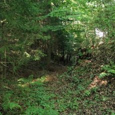
Stiegelburg
1.4 km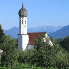
St. Korbinian
2.3 km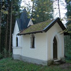
Schnellrieder Kapelle
2.7 km
St. Jakob
1.3 km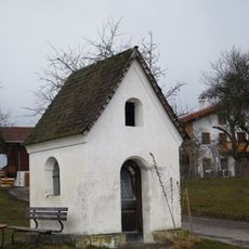
Hofkapelle
1.3 km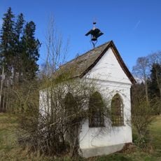
Hofkapelle
878 m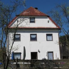
Wohnhaus, ehemaliges Scheyerner Klosterhaus
97 m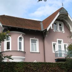
Sogenanntes Haus Hamburg, Kurpensionsvilla
2.9 km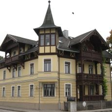
Lagerhausstraße 12
2.8 km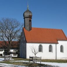
Kirche
2.7 km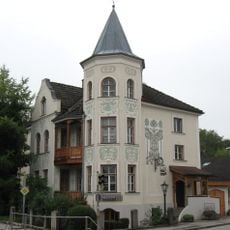
Willinger Straße 2
2.7 km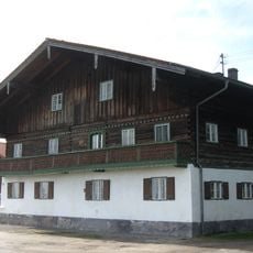
Bauernhaus
2.3 km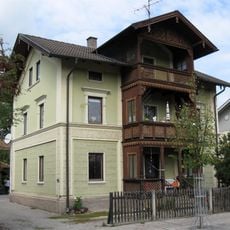
Lindenstraße 22
2.9 km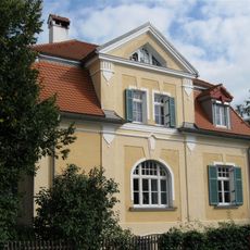
Lindenstraße 23
2.9 km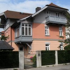
Lindenstraße 26
2.9 km
Willinger Straße 8
2.7 km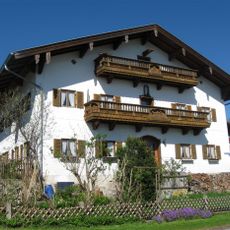
Dettendorfer Straße 2
31 m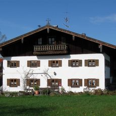
Bauernhaus
2.3 km
Wohnteil des Bauernhauses
2.2 km
Heinrichsdorfer Straße 20
145 m
Gottvater-Relief
2.2 km
Willinger Straße 10
2.7 km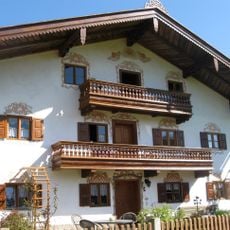
Bauernhaus
98 m
Berblinger Straße 8
1.3 km
Wilhelm-Leibl-Straße 5
133 m
Heinrichsdorfer Straße 15
110 mReviews
Visited this place? Tap the stars to rate it and share your experience / photos with the community! Try now! You can cancel it anytime.
Discover hidden gems everywhere you go!
From secret cafés to breathtaking viewpoints, skip the crowded tourist spots and find places that match your style. Our app makes it easy with voice search, smart filtering, route optimization, and insider tips from travelers worldwide. Download now for the complete mobile experience.

A unique approach to discovering new places❞
— Le Figaro
All the places worth exploring❞
— France Info
A tailor-made excursion in just a few clicks❞
— 20 Minutes