
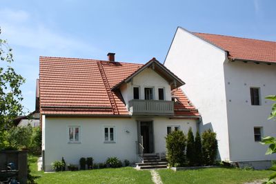
Wohnteil eines Bauernhaus, house in Munich, Germany
Location: Munich
Address: Johanneskirchner Straße 163
GPS coordinates: 48.16981,11.64965
Latest update: March 6, 2025 10:11
Pharao-Haus
1.1 km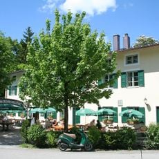
Emmeramsmühle
1.8 km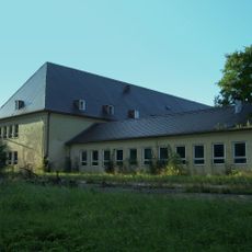
Prinz-Eugen-Kaserne
1.5 km
St. Lorenz, Oberföhring
1.9 km
St. Emmeram
1.8 km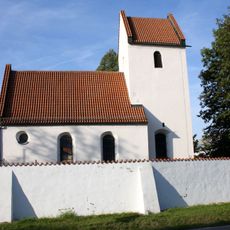
St. Johann Baptist (Johanneskirchen)
60 m
St. Thomas
1 km
Immanuelkirche
1.9 km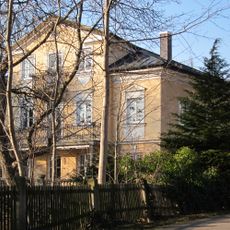
Englschalkinger Straße 229
1.6 km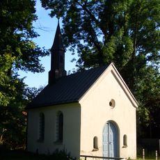
Gedächtniskapelle St. Emmeram
1.8 km
Wohnhaus
1.6 km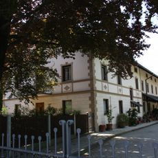
Ziegelei Rattenhuber
1.3 km
Hirschau und Obere Isarau
1.8 km
Friedhof Muspillistraße 14 in München
1.9 km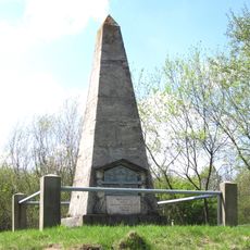
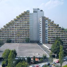
Basispyramide Unterföhring
1.1 km
Figur des Winters auf Sockel, wohl aus einem Zyklus der vier Jahreszeiten
1.9 km
Bürogebäude
1.6 km
St. Emmeram 39
1.8 km
Ehem. Bauernhaus
1.8 km
Ehem. Bauernhaus
1.9 km
Malerische Villa
1.9 km
Feuer- und Leichenhaus
1.9 km
Friedhofsmauer Muspillistraße 14 in München
1.9 km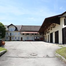
Bauernhof
66 m
Ehem. Bauernhof
105 m
Stattliche Hofanlage
1.4 km
Bauernhaus
1.4 km
Pfarrhaus Oberföhring
1.9 kmReviews
Visited this place? Tap the stars to rate it and share your experience / photos with the community! Try now! You can cancel it anytime.
Discover hidden gems everywhere you go!
From secret cafés to breathtaking viewpoints, skip the crowded tourist spots and find places that match your style. Our app makes it easy with voice search, smart filtering, route optimization, and insider tips from travelers worldwide. Download now for the complete mobile experience.

A unique approach to discovering new places❞
— Le Figaro
All the places worth exploring❞
— France Info
A tailor-made excursion in just a few clicks❞
— 20 Minutes