
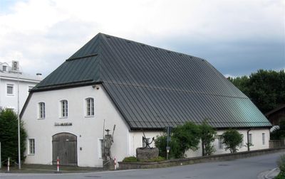
Ehem. Flussmeisterei, sogenannter Bruckstadel, jetzt Innmuseum, massiver erdgeschossiger Bau mit Krüppelwalmdach, 18. Jahrhundert
Location: Rosenheim
Address: Innstraße 74
GPS coordinates: 47.85500,12.14100
Latest update: April 25, 2025 09:19
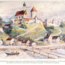
Burg Rosenheim
223 m
Bahnbetriebswerk Rosenheim
849 m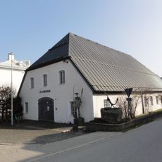
Inn-Museum
0 m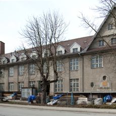
Papierwarenfabrik Rosenheim
719 m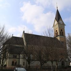
St. Georg
569 m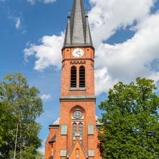
Redeemer Church (Rosenheim)
812 m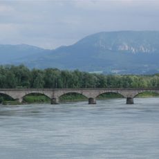
Eisenbahnbrücke Rosenheim
575 m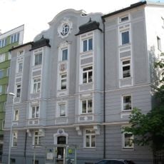
Innstraße 50
467 m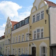
Hofmannstraße 4
710 m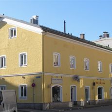
Färberstraße 6
805 m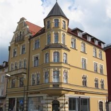
Innstraße 22
763 m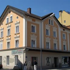
Innstraße 24
741 m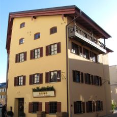
Färberstraße 4
834 m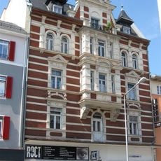
Innstraße 14
822 m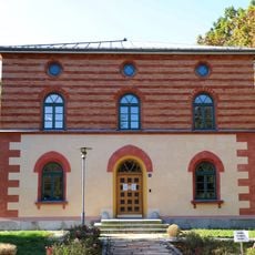
Verwaltungsgebäude des Staatl. Bauamts Rosenheim
241 m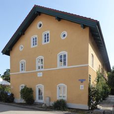
An der Burgermühle
822 m
Spitalstraße 3
792 m
Stephanskirchen Hofaustrasse 1
195 m
Färberstraße 19
801 m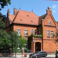
Königstraße 23
829 m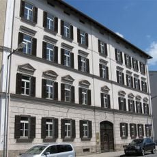
Königstraße 13
844 m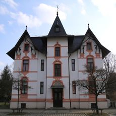
Salzburger Straße 8
502 m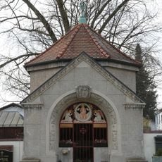
Grabstätte
694 m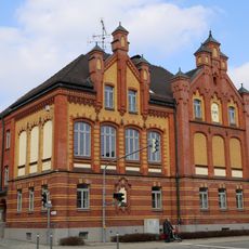
Salzburger Straße 25 (Schloßberg, Stephanskirchen)
658 m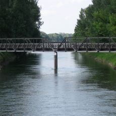
Ehemalige Eisenbahnbrücke über die Mangfall
336 m
Wohnhaus
812 m
Dr.-Geiger-Straße 2
824 m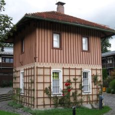
Innsbrucker Straße 1
712 mReviews
Visited this place? Tap the stars to rate it and share your experience / photos with the community! Try now! You can cancel it anytime.
Discover hidden gems everywhere you go!
From secret cafés to breathtaking viewpoints, skip the crowded tourist spots and find places that match your style. Our app makes it easy with voice search, smart filtering, route optimization, and insider tips from travelers worldwide. Download now for the complete mobile experience.

A unique approach to discovering new places❞
— Le Figaro
All the places worth exploring❞
— France Info
A tailor-made excursion in just a few clicks❞
— 20 Minutes