
Alm, sogenannte Gedereralm
Alm, sogenannte Gedereralm, eingeschossiger Satteldachbau mit getünchtem Bruchsteinmauerwerk, Blockbau-Kniestock und verschaltem Giebelspitz, 1810
Location: Aschau im Chiemgau
Address: Bergseite Ost 12; Gedereralm
GPS coordinates: 47.76093,12.37246
Latest update: March 3, 2025 16:41
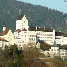
Hohenaschau Castle
3.8 km
Hochplatte
2.7 km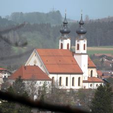
Mariä Lichtmeß (Aschau i. Chiemgau)
4.3 km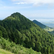
Friedenrath
2.5 km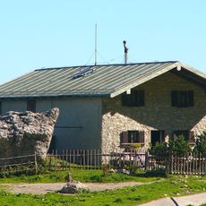
Steinlingalm
623 m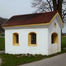
Kapelle zu den Sieben Zufluchten
4.3 km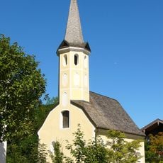
Kampenwandstraße 76
3.7 km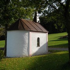
Wegkapelle
4.3 km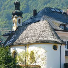
Kreuzkapelle
4.3 km
Friedenskirche
3.5 km
Kampenwandstraße 94
3.7 km
Schloßbrauerei (Hohenaschau i. Chiemgau)
3.6 km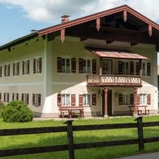
Schloßbergstraße 6
4 km
Kampenwandstraße 83
3.6 km
War memorial
4.3 km
Ehemaliger Schlossbräukeller
3.7 km
Ehemaliges Bauernhaus
4.2 km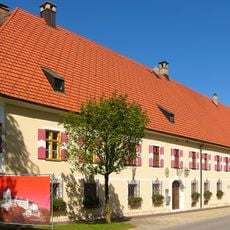
Renteigebäude
3.7 km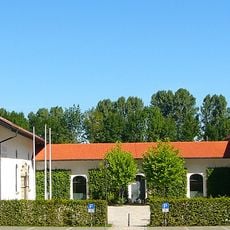
Schloßökonomie
3.8 km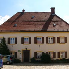
Kirchplatz 2
4.3 km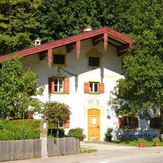
Kampenwandstraße 90
3.7 km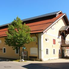
Kampenwandstraße 78
3.6 km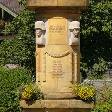
Kriegerdenkmal
4.1 km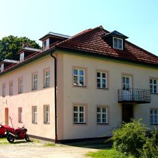
Schulstraße 13
4.3 km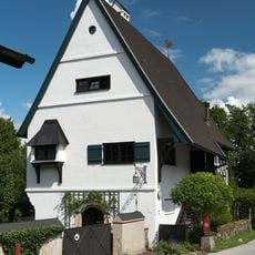
Zellerhornstraße 36
4.2 km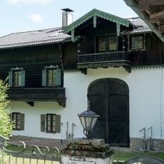
Zellerhornstraße 73
4.3 km
Schloss Hohenaschau Funicular
3.7 km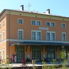
Bahnhof Aschau
4.1 kmReviews
Visited this place? Tap the stars to rate it and share your experience / photos with the community! Try now! You can cancel it anytime.
Discover hidden gems everywhere you go!
From secret cafés to breathtaking viewpoints, skip the crowded tourist spots and find places that match your style. Our app makes it easy with voice search, smart filtering, route optimization, and insider tips from travelers worldwide. Download now for the complete mobile experience.

A unique approach to discovering new places❞
— Le Figaro
All the places worth exploring❞
— France Info
A tailor-made excursion in just a few clicks❞
— 20 Minutes