
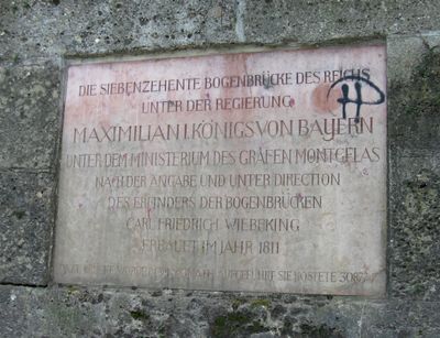
Gedenktafel, Gedenktafel an die Errichtung der ersten Bogenbrücke über den Inn, von 1811
Location: Rosenheim
Address: Nähe Innlände
GPS coordinates: 47.85530,12.14120
Latest update: March 11, 2025 18:56
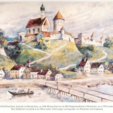
Burg Rosenheim
192 m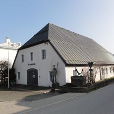
Inn-Museum
37 m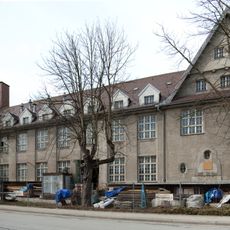
Papierwarenfabrik Rosenheim
755 m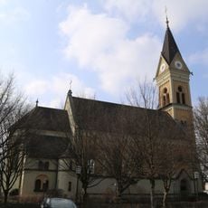
St. Georg
540 m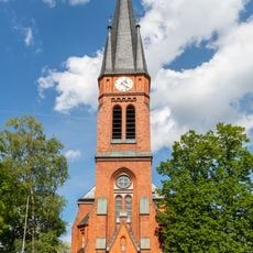
Redeemer Church (Rosenheim)
836 m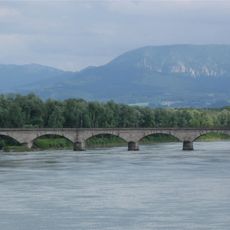
Eisenbahnbrücke Rosenheim
582 m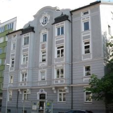
Innstraße 50
488 m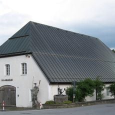
Ehem. Flussmeisterei
37 m
Spitalstraße 3
803 m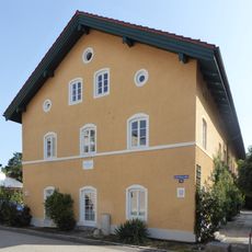
An der Burgermühle
829 m
Innstraße 14
837 m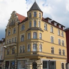
Innstraße 22
780 m
Innstraße 24
758 m
Verwaltungsgebäude des Staatl. Bauamts Rosenheim
234 m
Färberstraße 19
808 m
Färberstraße 4
844 m
Färberstraße 6
814 m
Stephanskirchen Hofaustrasse 1
158 m
Hofmannstraße 4
725 m
Königstraße 23
854 m
Wohnhaus
833 m
Grabstätte
661 m
Salzburger Straße 8
470 m
Ehem. Brauereigebäude, sogenanntes "Saubräu-Anwesen"
858 m
Salzburger Straße 25 (Schloßberg, Stephanskirchen)
628 m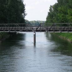
Ehemalige Eisenbahnbrücke über die Mangfall
343 m
Innsbrucker Straße 1
747 m
Dr.-Geiger-Straße 2
841 mReviews
Visited this place? Tap the stars to rate it and share your experience / photos with the community! Try now! You can cancel it anytime.
Discover hidden gems everywhere you go!
From secret cafés to breathtaking viewpoints, skip the crowded tourist spots and find places that match your style. Our app makes it easy with voice search, smart filtering, route optimization, and insider tips from travelers worldwide. Download now for the complete mobile experience.

A unique approach to discovering new places❞
— Le Figaro
All the places worth exploring❞
— France Info
A tailor-made excursion in just a few clicks❞
— 20 Minutes