
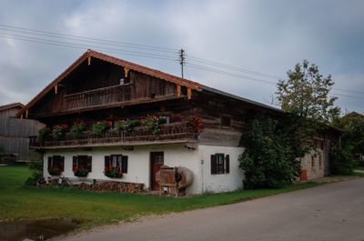
Dorfstraße 26, zweigeschossiger Satteldachbau mit Blockbauobergeschoss, Giebellaube, verbretterter Hochlaube, traufseitiges Bundwerk am Wirtschaftsteil, am Bundwerk bezeichnet mit 1778
Location: Bruckmühl
Address: Dorfstraße 26
GPS coordinates: 47.88653,11.95029
Latest update: March 4, 2025 00:49
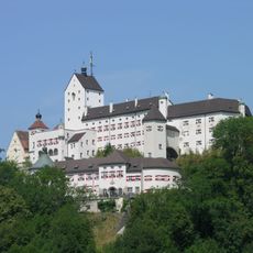
Schloss
3.2 km
H8
3 km
St. Vigilius Kirchdorf a. Haunpold
2.6 km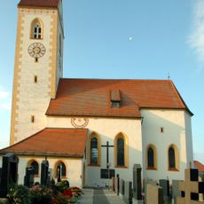
St. Martin (Högling)
148 m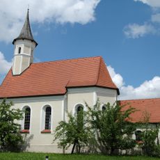
St. Isidor
2.6 km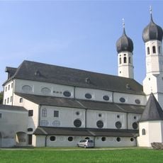
Wallfahrtskirche Heilige Dreifaltigkeit
535 m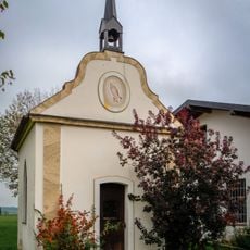
Katholische Kapelle, Lourdeskapelle
2 km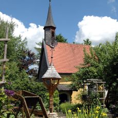
Pestkapelle in Waith
2.7 km
Kapelle
2.9 km
Kirchdorfer Straße 31
2.7 km
Schlössl
2.9 km
Kirchdorfer Straße 12
2.7 km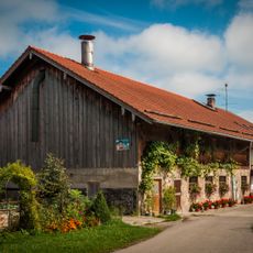
Ginsham 29
3.2 km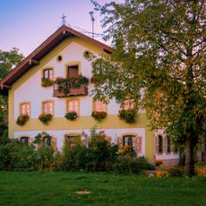
Haunpoldstraße 14
2.8 km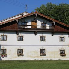
Bauernhaus, Wohnteil des Einfirsthauses
2.1 km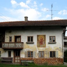
Einfirsthof, Wohnteil
147 m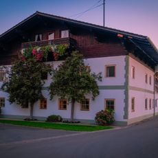
Maxhofener Straße 17
2.6 km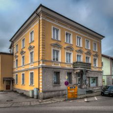
Göttinger Straße 2
3 km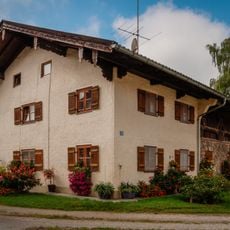
Lindenstraße 22
256 m
Ehemalige Schmiede
293 m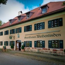
Gasthaus Weihenlinden
486 m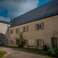
Pfarrhaus
571 m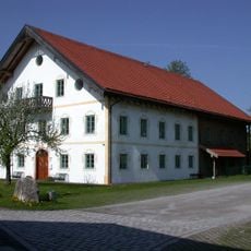
Pfarrhof
2.6 km
Ginshamer Straße 21
2.5 km
Bauernhaus, Mitterstallhaus
1.7 km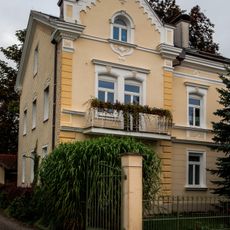
Sonnenwiechser Straße 21
2.3 km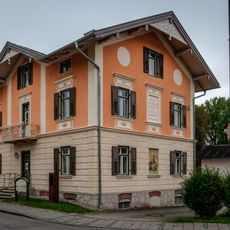
Sonnenwiechser Straße 12
2.5 km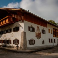
Bundwerk
311 mVisited this place? Tap the stars to rate it and share your experience / photos with the community! Try now! You can cancel it anytime.
Discover hidden gems everywhere you go!
From secret cafés to breathtaking viewpoints, skip the crowded tourist spots and find places that match your style. Our app makes it easy with voice search, smart filtering, route optimization, and insider tips from travelers worldwide. Download now for the complete mobile experience.

A unique approach to discovering new places❞
— Le Figaro
All the places worth exploring❞
— France Info
A tailor-made excursion in just a few clicks❞
— 20 Minutes