
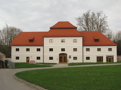
Rottenbuch town hall, town hall of the Bavarian municipality Rottenbuch
Location: Rottenbuch
Address: Klosterhof 42/44/46
GPS coordinates: 47.73658,10.96489
Latest update: March 6, 2025 15:21
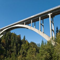
Echelsbacher Brücke
3 km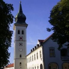
Rottenbuch Abbey
244 m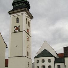
Mariä Geburt
130 m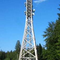
Rottenbuch Radio Tower
3.4 km
Ammerschlucht an der Echelsbacher Brücke
3 km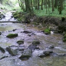
Ammertal im Bereich der Ammerleite und Talbachhänge
2.4 km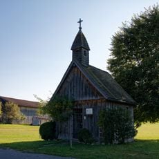
Gschwend chapel
4 km
Bichlbauernfilz mit Schwaigsee
3.5 km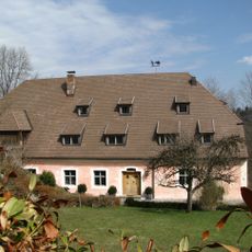
Pfistermühle (Rottenbuch)
241 m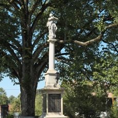
Mariensäule
200 m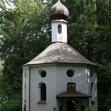
Frauenbrünnlkapelle
431 m
Schutz des Breitfilzes Gemarkung Schönberg, Landkreis Schongau
3.2 km
Weißach-Schichten an der Ammer bei der Echelsbacher Brücke
3 km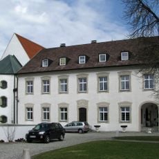
Botenhaus
134 m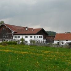
Bauernhaus''„zum Engel“''
2.9 km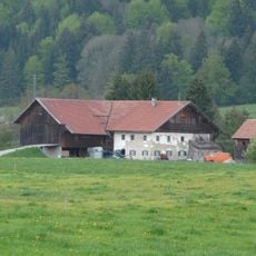
Einfirsthof
3.3 km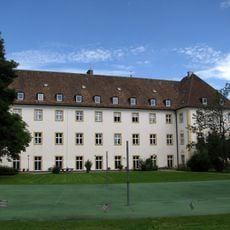
Ehemaliges Brauhaus
229 m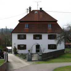
Ehemaliger Fischkalter
175 m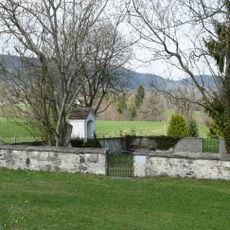
Pestfriedhof Rottenbuch
1.5 km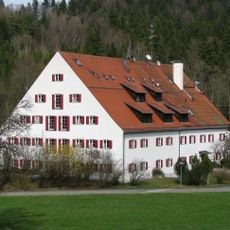
Ammermühle
871 m
Bauernhaus
3.7 km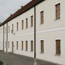
Ehemaliges Seminargebäude
50 m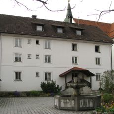
Ehemaliges Augustinerchorherren-Kloster
167 m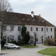
Ehemaliges Spitalgebäude, jetzt Wohnhaus
40 m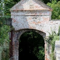
Klostermauer
51 m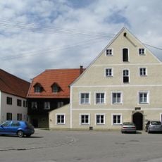
Ehemaliges Gasthaus zur Post
425 m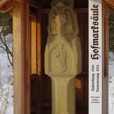
Grenzsäule
3.4 km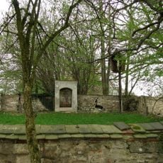
Pestfriedhof Böbing
2 kmVisited this place? Tap the stars to rate it and share your experience / photos with the community! Try now! You can cancel it anytime.
Discover hidden gems everywhere you go!
From secret cafés to breathtaking viewpoints, skip the crowded tourist spots and find places that match your style. Our app makes it easy with voice search, smart filtering, route optimization, and insider tips from travelers worldwide. Download now for the complete mobile experience.

A unique approach to discovering new places❞
— Le Figaro
All the places worth exploring❞
— France Info
A tailor-made excursion in just a few clicks❞
— 20 Minutes