
Valeppalm, erdgeschossiger, halbhöhig verschindelter Blockbau auf Bruchsteinsockel mit Flachsatteldach und Aborterker, erste Hälfte 19. Jahrhundert
Location: Schliersee
Address: Im Roten Valepptal, in 1050/1070 Metern Höhe. (Valepper Straße 18; Vierte Hütte, unterhalb des Wegs)
GPS coordinates: 47.65402,11.88485
Latest update: November 24, 2025 02:12
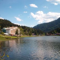
Spitzingsee
1.2 km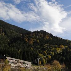
Taubensteinbahn
1.4 km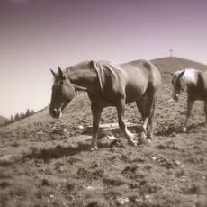
Roßkopf (Mangfallgebirge)
1.7 km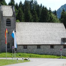
St. Bernhard Spitzingsee
840 m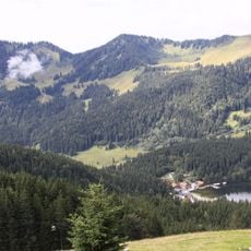
Stolzenberg
1.6 km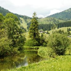
Mäander der Roten Valepp
509 m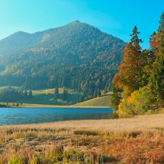
Schutz des Spitzingsees und seiner Umgebung
889 m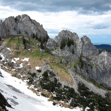
Mangfallgebirge
1.5 km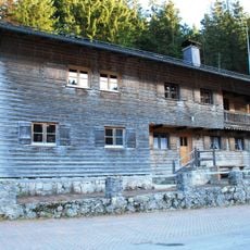
Holzerhütte
729 m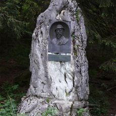
Perfall-Denkmal
1.2 km
Valeppalm
167 m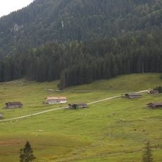
Valeppalm
89 m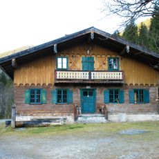
Waitzingeralm
1.8 km
Obere Haushamer Alm / Grünseealm
1.2 km
Forsthaus
766 m
Schwarzenkopf
1.2 km
Untere Haushamer Alm
1.1 km
Alm Obere Haushamer Alm in Schliersee (Gemeinde)
1.1 km
Alm Obere Haushamer Alm in Schliersee (Gemeinde)
1.1 km
Anton von Perfall
1.2 km
Wayside cross
1.2 km
Wayside cross, Christianity
153 m
Rudolf Schweter
1.7 km
Bethlehem
917 m
Wayside cross
1.2 km
Wayside cross
1.2 km
Wayside cross
1.2 km
Wayside cross
1.2 kmReviews
Visited this place? Tap the stars to rate it and share your experience / photos with the community! Try now! You can cancel it anytime.
Discover hidden gems everywhere you go!
From secret cafés to breathtaking viewpoints, skip the crowded tourist spots and find places that match your style. Our app makes it easy with voice search, smart filtering, route optimization, and insider tips from travelers worldwide. Download now for the complete mobile experience.

A unique approach to discovering new places❞
— Le Figaro
All the places worth exploring❞
— France Info
A tailor-made excursion in just a few clicks❞
— 20 Minutes