
Valeppalm, breitgelagerter Blockbau, zum Teil verbrettert und verschindelt, auf Bruchsteinsockel, bezeichnet mit dem Jahr 1831
Location: Schliersee
Address: Im Roten Valepptal in 1050/1070 Metern Höhe. (Zweite Hütte, oberhalb des Wegs)
GPS coordinates: 47.65330,11.88289
Latest update: June 8, 2025 13:28
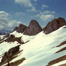
Rotwand
3.9 km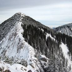
Brecherspitz
2.7 km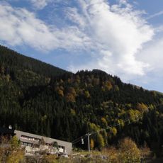
Taubensteinbahn
1.5 km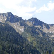
Bodenschneid
3.9 km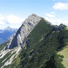
Aiplspitz
3.8 km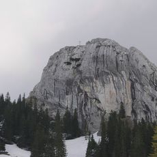
Taubenstein
2.9 km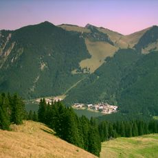
Jägerkamp
2.8 km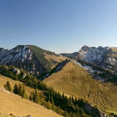
Hochmiesing
4.4 km
Roßkopf (Mangfallgebirge)
1.6 km
Stümpfling
2.2 km
St. Bernhard Spitzingsee
962 m
Rauhkopf
3.1 km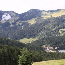
Stolzenberg
1.4 km
Maria-Hilf-Kapelle Valepp
4.4 km
Lahner Kopf
4.8 km
Rotzigmoosberg
3.6 km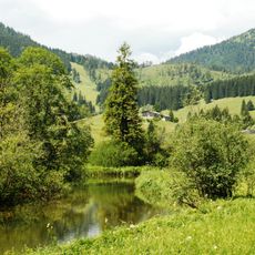
Mäander der Roten Valepp
638 m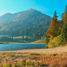
Schutz des Spitzingsees und seiner Umgebung
1 km
LSG Sutten und Umgebung
2.7 km
Mangfallgebirge
1.5 km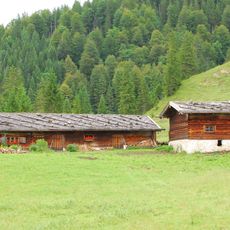
Ochsenalm
4.5 km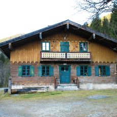
Waitzingeralm
1.8 km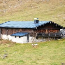
Spitzingalm
2.1 km
Untere Schönfeldalm
2.3 km
Valeppalm
79 m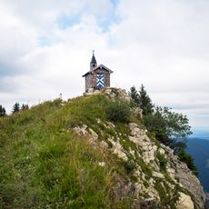
St. Leonhard
3.3 km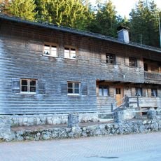
Holzerhütte
841 m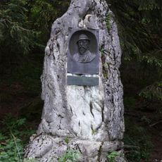
Perfall-Denkmal
1.3 kmReviews
Visited this place? Tap the stars to rate it and share your experience / photos with the community! Try now! You can cancel it anytime.
Discover hidden gems everywhere you go!
From secret cafés to breathtaking viewpoints, skip the crowded tourist spots and find places that match your style. Our app makes it easy with voice search, smart filtering, route optimization, and insider tips from travelers worldwide. Download now for the complete mobile experience.

A unique approach to discovering new places❞
— Le Figaro
All the places worth exploring❞
— France Info
A tailor-made excursion in just a few clicks❞
— 20 Minutes