
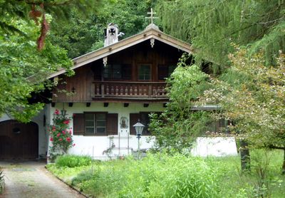
Wohnhaus, building in Vaterstetten, Upper Bavaria, Germany
Location: Vaterstetten
Address: Gartenstraße 13
GPS coordinates: 48.09452,11.78756
Latest update: March 5, 2025 18:07
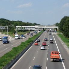
Bundesautobahn 99
3.2 km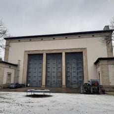
Staatsatelier Thorak
499 m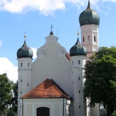
St. Ottilia
2.3 km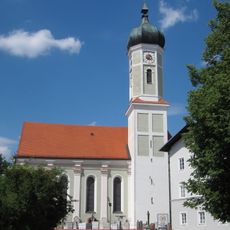
St. Martin
2.9 km
Anton-Grandauer-Straße 9
2.9 km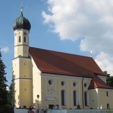
St. Georg
3.4 km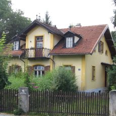
Scheckenhoferhaus
2.1 km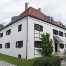
Pfarrhaus (Zorneding)
2.9 km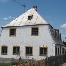
Bucher Straße 22
3.2 km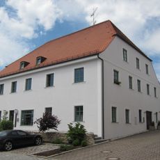
Anton-Grandauer-Straße 11
2.8 km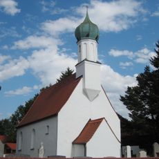
Katholische Filialkirche St. Pankratius
2.3 km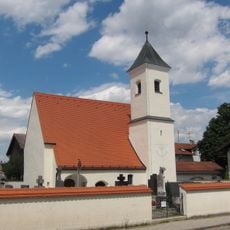
Katholische Filialkirche St. Korbinian, ehemals St. Magdalena
2.3 km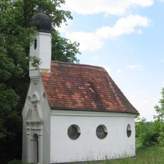
Kapelle St. Antonius
2.7 km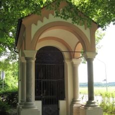
Wegkapelle St. Marien
3.3 km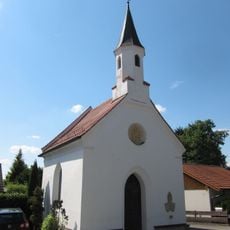
Kapelle
3 km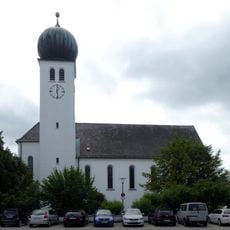
Zum kostbaren Blut Christi
1.7 km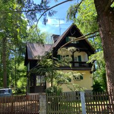
Wohnhaus
1.8 km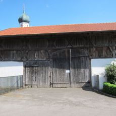
Stadel
3.4 km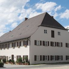
Verwalterhaus
2.3 km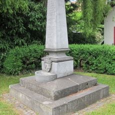
Denkmal zur Erinnerung an die Einrichtung der Zornedinger Wasserleitung
3 km
Christophoruskirche
3.3 km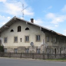
Ehemaliger Bauernhof
2.7 km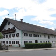
Ehemaliger Bauernhof
2.9 km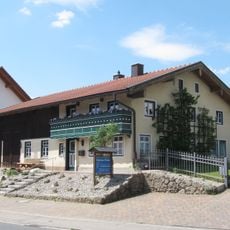
Ehemaliges Bauernhaus
3.4 km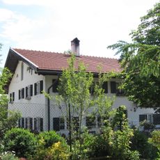
Ehemaliger Bauernhof
3.4 km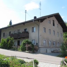
Ehemaliges Bauernhaus
3.4 km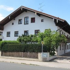
Ehemaliges Bauernhaus
3.1 km
Denkmal für König Ludwig II.
3 kmReviews
Visited this place? Tap the stars to rate it and share your experience / photos with the community! Try now! You can cancel it anytime.
Discover hidden gems everywhere you go!
From secret cafés to breathtaking viewpoints, skip the crowded tourist spots and find places that match your style. Our app makes it easy with voice search, smart filtering, route optimization, and insider tips from travelers worldwide. Download now for the complete mobile experience.

A unique approach to discovering new places❞
— Le Figaro
All the places worth exploring❞
— France Info
A tailor-made excursion in just a few clicks❞
— 20 Minutes