
Almhütte, obere Hütte der sog. Bernaueralm
Almhütte, obere Hütte der sog. Bernaueralm, erdgeschossiger, teilweise verschindelter bzw. verbretterter Blockbau über Bruchsteinsockel mit Flachsatteldach, bez. 1809 und 1947
Location: Rottach-Egern
Address: Bernauer Alm
GPS coordinates: 47.63239,11.80833
Latest update: March 5, 2025 01:06
Wildbad Kreuth
5.1 km
Wallberg
3.8 km
Wallbergbahn
5.3 km
Bodenschneid
4.9 km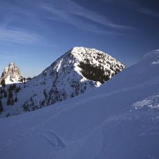
Risserkogel
615 m
Schinder
5.3 km
Plankenstein
962 m
Roßkopf (Mangfallgebirge)
4.8 km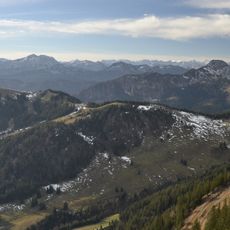
Stümpfling
4.9 km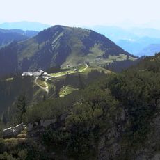
Setzberg
2.7 km
Stolzenberg
4.9 km
St. Leonhard (Kreuth)
5.1 km
Schreistein
1.1 km
Lahner Kopf
1.3 km
Langeckberg
3.8 km
Pfaffenkopf
3.8 km
Lap Berg
2 km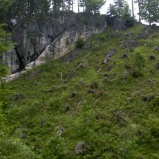
Rotzigmoosberg
2.5 km
Oberhofer Weißachalm
5.4 km
Bergkapelle Heiliges Kreuz
3.4 km
LSG Sutten und Umgebung
3.7 km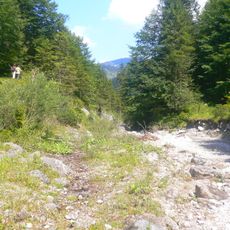
Schutz des Weissachtales
4.7 km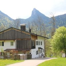
Bayerisches Forstamt Kreuth
4.7 km
Mangfallgebirge
1.3 km
Sühnekreuz
2.6 km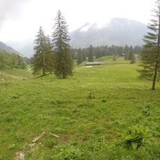
Forsthütte, sog. Siebli-Winterhütte
2.6 km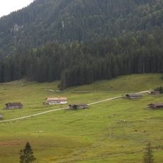
Valeppalm
6.1 km
Riechl Spitz
3.3 kmReviews
Visited this place? Tap the stars to rate it and share your experience / photos with the community! Try now! You can cancel it anytime.
Discover hidden gems everywhere you go!
From secret cafés to breathtaking viewpoints, skip the crowded tourist spots and find places that match your style. Our app makes it easy with voice search, smart filtering, route optimization, and insider tips from travelers worldwide. Download now for the complete mobile experience.

A unique approach to discovering new places❞
— Le Figaro
All the places worth exploring❞
— France Info
A tailor-made excursion in just a few clicks❞
— 20 Minutes