
Türgewände, am ehemaligen Gasthaus, bezeichnet mit dem Jahr 1847
Location: Traunstein
Address: Wiesenzeile 21
GPS coordinates: 47.87085,12.64998
Latest update: March 13, 2025 01:42
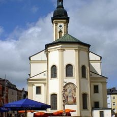
St. Oswald
229 m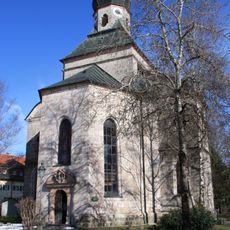
Salinenkapelle
372 m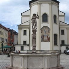
Lindlbrunnen
191 m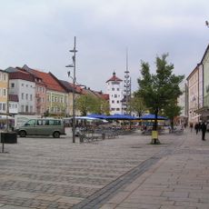
Ensemble Stadtplatz
156 m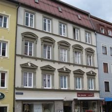
Schaumburgerstraße 1 Traunstein
240 m
Aubergtor
276 m
Ehemalige Höllbrauerei
255 m
Stadtplatz 38
246 m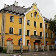
Maxplatz 8
350 m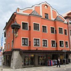
Stadtplatz 8 Traunstein
225 m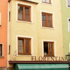
Schaumburgerstraße 7 Traunstein
229 m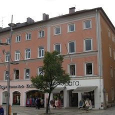
Wohn- und Geschäftshaus
218 m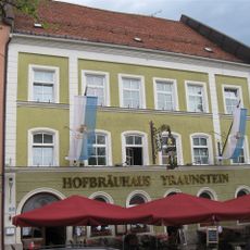
Stadtplatz 20
127 m
Stadtplatz 12
199 m
Marienstock
328 m
Stadtplatz 6
252 m
Stadtplatz 7
252 m
Stadtplatz 5
257 m
Brothausturm
282 m
Schaumburgerstraße 15 Traunstein
216 m
Rückgebäude der ehemaligen Brauerei
83 m
Bürgerhaus
220 m
Gasthaus Höllbräu
243 m
Hinter der Veste 4
321 m
Rathaus
269 m
Taubenmarkt 5 Traunstein
168 m
Taubenmarkt 7 Traunstein
167 m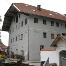
Reviews
Visited this place? Tap the stars to rate it and share your experience / photos with the community! Try now! You can cancel it anytime.
Discover hidden gems everywhere you go!
From secret cafés to breathtaking viewpoints, skip the crowded tourist spots and find places that match your style. Our app makes it easy with voice search, smart filtering, route optimization, and insider tips from travelers worldwide. Download now for the complete mobile experience.

A unique approach to discovering new places❞
— Le Figaro
All the places worth exploring❞
— France Info
A tailor-made excursion in just a few clicks❞
— 20 Minutes