
, mühlenanwesen; ehemaliger Einfirsthof mit Schopfwalmdach, Türgewände bezeichnet mit dem Jahr 1818, im Kern wohl 17. Jahrhundert, Wirtschaftsteil modern ausgebaut
Location: Traunstein
Address: Mühlgasse 12
GPS coordinates: 47.85784,12.63386
Latest update: March 13, 2025 23:36

Michael Traunstein
643 m
Mariä Verkündigung (Haslach)
531 m
Äußere Rosenheimer Straße 21 (Traunstein)
1 km
Auferstehungskirche (Traunstein)
1.3 km
Crailsheimstraße 17
1.2 km
Bachmayerstraße 1
892 m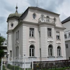
Marienstraße 10a Traunstein
1.5 km
Herzog-Friedrich-Straße 10a
1.3 km
Bahnhofstraße 16
1.5 km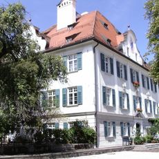
Ehem. Pfarrhof
538 m
Villenartiges Wohnhaus
1 km
Leonrodstraße 4a
1.1 km
Rosenheimer Straße 5 Traunstein
1.2 km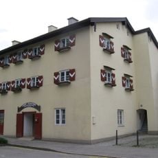
Alberti-Ferdinandi-Stock
1.4 km
Maximiliani-Wilhelmi-Stock
1.5 km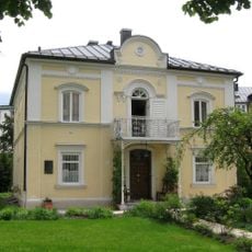
Villa Hager
1.4 km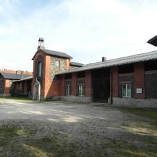
Im ehemaligen Rupertistadl befindet sich heute die Flussmeisterstelle des Wasserwirtschaftsamtes.
1.4 km
Bahnhofstraße 32
1.4 km
Doppelwohnhaus
1 km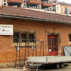
Ehemaliger Salzmühlstadel
1.4 km
Herzog-Friedrich-Straße 8 Traunstein
1.3 km
Haslacher Straße 18
1 km
Crailsheimstraße 1
1.3 km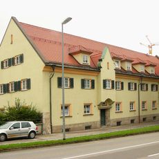
Ehemaliges Amtsgerichtsgebäude
1.4 km
Wochinger-Keller
1.1 km
Sommerkeller
1.1 km
Bahnhofstraße 28
1.4 km
Ensemble Karl-Theodor-Platz
1.5 kmReviews
Visited this place? Tap the stars to rate it and share your experience / photos with the community! Try now! You can cancel it anytime.
Discover hidden gems everywhere you go!
From secret cafés to breathtaking viewpoints, skip the crowded tourist spots and find places that match your style. Our app makes it easy with voice search, smart filtering, route optimization, and insider tips from travelers worldwide. Download now for the complete mobile experience.

A unique approach to discovering new places❞
— Le Figaro
All the places worth exploring❞
— France Info
A tailor-made excursion in just a few clicks❞
— 20 Minutes