
, ehemaliges Ökonomiegut Sparz, Kopfbau des Nordtraktes der Dreiflügelanlage, zweigeschossig mit Putzgliederung und Schopfwalmdach, über der Tür bezeichnet mit dem Jahr 1744, im Inneren Stuckdecken, Raumdisposition 1984/85 verändert
Location: Traunstein
Address: Sparz 3
GPS coordinates: 47.86652,12.65677
Latest update: August 19, 2025 07:03
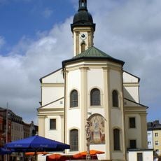
St. Oswald
752 m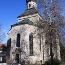
Salinenkapelle
655 m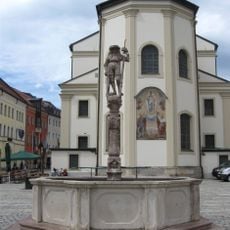
Lindlbrunnen
707 m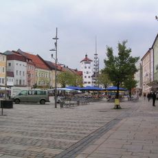
Ensemble Stadtplatz
698 m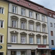
Schaumburgerstraße 1 Traunstein
800 m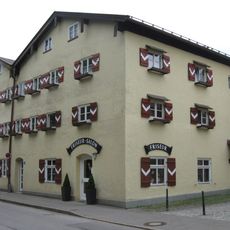
Maximiliani-Wilhelmi-Stock
629 m
Aubergtor
580 m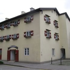
Alberti-Ferdinandi-Stock
712 m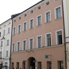
Stadtplatz 38
713 m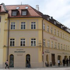
Ehemalige Höllbrauerei
687 m
Schaumburgerstraße 7 Traunstein
804 m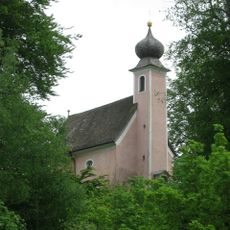
St. Salvator und Joseph
249 m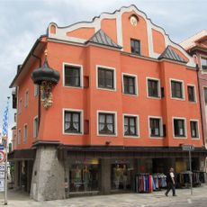
Stadtplatz 8 Traunstein
784 m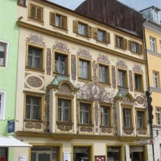
Stadtplatz 12
755 m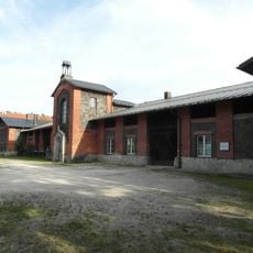
Im ehemaligen Rupertistadl befindet sich heute die Flussmeisterstelle des Wasserwirtschaftsamtes.
710 m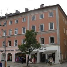
Wohn- und Geschäftshaus
690 m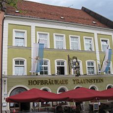
Stadtplatz 20
684 m
Stadtplatz 6
798 m
Stadtplatz 7
804 m
Rückgebäude der ehemaligen Brauerei
693 m
Stadtplatz 5
791 m
Gasthaus Höllbräu
700 m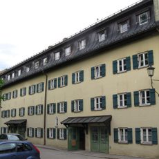
Marienstock
650 m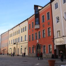
Rathaus
754 m
Taubenmarkt 5 Traunstein
789 m
Taubenmarkt 7 Traunstein
778 m

Ensemble Karl-Theodor-Platz
680 mReviews
Visited this place? Tap the stars to rate it and share your experience / photos with the community! Try now! You can cancel it anytime.
Discover hidden gems everywhere you go!
From secret cafés to breathtaking viewpoints, skip the crowded tourist spots and find places that match your style. Our app makes it easy with voice search, smart filtering, route optimization, and insider tips from travelers worldwide. Download now for the complete mobile experience.

A unique approach to discovering new places❞
— Le Figaro
All the places worth exploring❞
— France Info
A tailor-made excursion in just a few clicks❞
— 20 Minutes