
Ehrensäule, bezeichnet mit dem Jahr 1727
Location: Burghausen
Address: Marienberger Straße in der Flur Marienberg
GPS coordinates: 48.14281,12.79068
Latest update: August 12, 2025 11:21
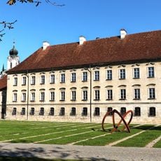
Raitenhaslach Cistercian Abbey
1.7 km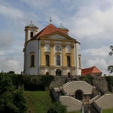
Marienberg
81 m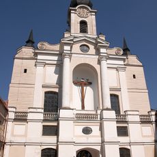
Ehemalige Zisterzienserabteikirche Mariä Himmelfahrt, Pfarrkirche St. Georg
1.6 km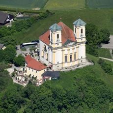
Wallfahrtskirche St. Maria Himmelfahrt
83 m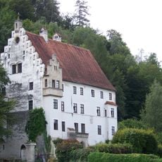
Schloss Wanghausen
2.4 km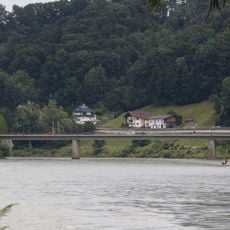
Bridge over the Salzach
2.7 km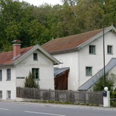
Hammerschmiede Burghausen
2.2 km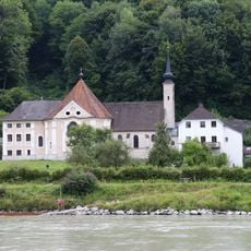
Church of the Visitation
2.7 km
Trutzhof
457 m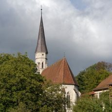
Heiligkreuz
1.7 km
Wasserkraftwerk Marienberg
486 m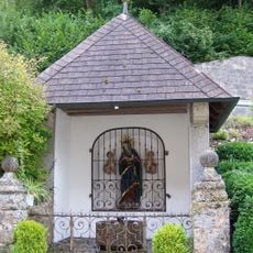
Goldbrünnl-Kapelle
2.7 km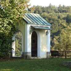
Kapelle, sogenannte „Napoleonskapelle“
2.3 km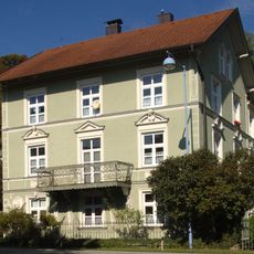
Villa
2.4 km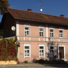
Gasthaus Napoleonshöhe
2.4 km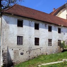
Süd- und Westflügel der ehemaligen Klosterökonomie
1.7 km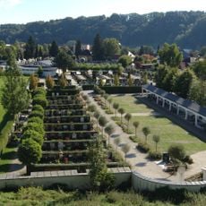
Städtischer Friedhof
2.6 km
Ehemalige Säg- und Kunstmühle „Beim Sägmeister“
905 m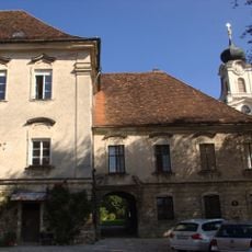
Sogenanntes „Abteistöckl“
1.6 km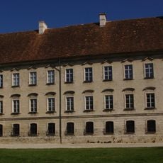
Ehemaliger Prälatenstock, sogenannter „Großer Abteistock“
1.6 km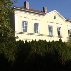
Wohnhaus
2.5 km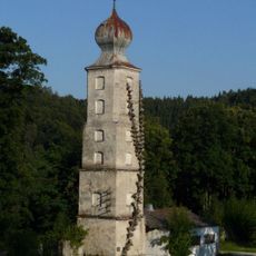
Wasserturm Raitenhaslach
1.5 km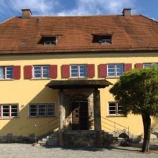
Finanzamt
2.8 km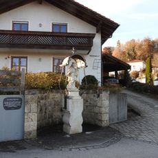
Figur des hl. Johann Nepomuk
2.7 km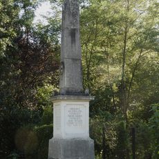
Kriegerdenkmal
2.3 km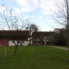
Pfarr-Ökonomie
1.7 km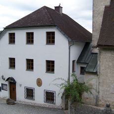
Pfarrhof
2.7 km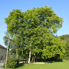
Zwei Platanen von Wanghausen
2.5 kmReviews
Visited this place? Tap the stars to rate it and share your experience / photos with the community! Try now! You can cancel it anytime.
Discover hidden gems everywhere you go!
From secret cafés to breathtaking viewpoints, skip the crowded tourist spots and find places that match your style. Our app makes it easy with voice search, smart filtering, route optimization, and insider tips from travelers worldwide. Download now for the complete mobile experience.

A unique approach to discovering new places❞
— Le Figaro
All the places worth exploring❞
— France Info
A tailor-made excursion in just a few clicks❞
— 20 Minutes