
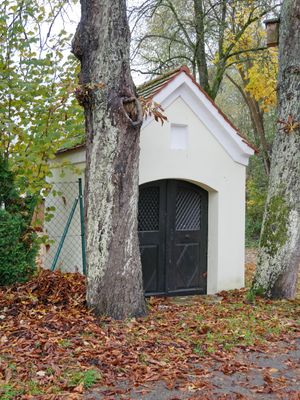
Wayside chapel, erste Hälfte 19. Jahrhundert; gegenüber der Mühle
Location: Beilngries
Address: Gösselthal 11 92339
GPS coordinates: 49.05437,11.46407
Latest update: October 17, 2025 10:39
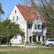
Former operating and residential building of Utzmuehle
1.5 km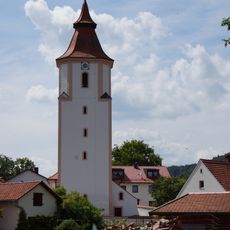
Ensemble St. Michael's church
941 m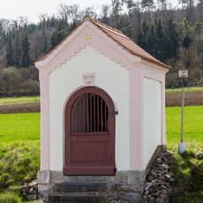
Wayside chapel at Elendfeld
601 m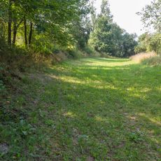
Abschnitt des Ludwig-Donau-Main-Kanals #09
427 m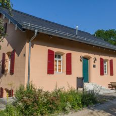
Former lock-keeper's house ensemble
995 m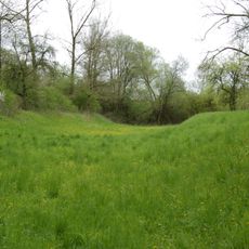
Erdbauten des Ludwig-Donau-Main-Kanals #07
1.5 km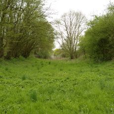
Abschnitt des Ludwig-Donau-Main-Kanals #08
1.6 km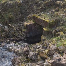
Kanalausleitung
780 m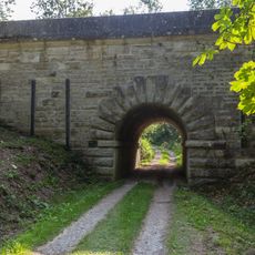
Navigable aqueduct
256 m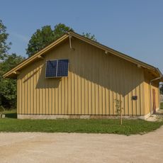
Warehouse
861 m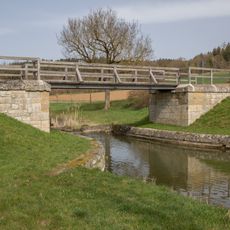
Brücke bei Biberbach
1.1 km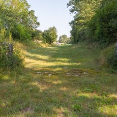
Canal safety lock
1.1 km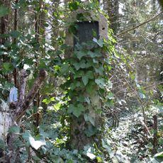
Wayside shrine
1.7 km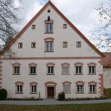
Ensemble Goesselthal Mill
48 m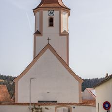
Cultural heritage D-1-6934-0078 in Beilngries
940 m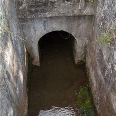
Creek culvert
1.4 km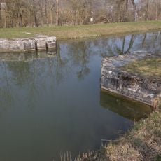
Canal safety lock near Plankstetten
1.3 km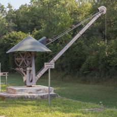
Iron crane
954 m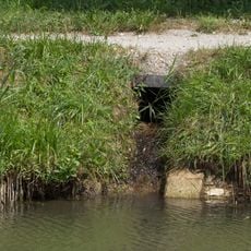
Bacheinleitung bei Plankstetten
1.4 km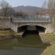
Brücke B299 bei km 44 1
1.6 km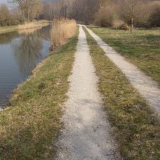
Bacheinlauf bei km 43 8
1.3 km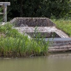
Zwangsentlastung bei Plankenstetten
1.4 km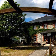
Residential building
1.7 km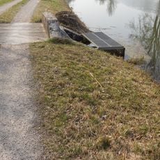
Grundablass bei Plankstetten
1.4 km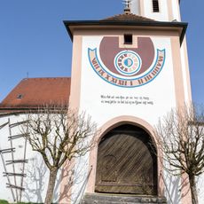
Gate tower
934 m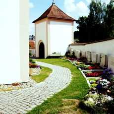
Churchyard wall
940 m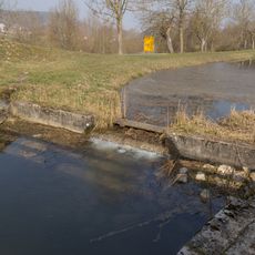
Sperrmauer bei km 43,6
1.1 km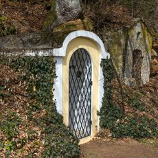
Zwei Wegkapellen bei Biberbach
1.2 kmReviews
Visited this place? Tap the stars to rate it and share your experience / photos with the community! Try now! You can cancel it anytime.
Discover hidden gems everywhere you go!
From secret cafés to breathtaking viewpoints, skip the crowded tourist spots and find places that match your style. Our app makes it easy with voice search, smart filtering, route optimization, and insider tips from travelers worldwide. Download now for the complete mobile experience.

A unique approach to discovering new places❞
— Le Figaro
All the places worth exploring❞
— France Info
A tailor-made excursion in just a few clicks❞
— 20 Minutes