
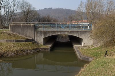
Brücke B299 bei km 44 1, pont situé en Allemagne
Location: Berching
Inception: 1995
Part of: Ludwig Canal
GPS coordinates: 49.06882,11.46185
Latest update: September 23, 2025 16:56
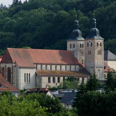
Plankstetten Abbey
570 m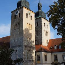
Abteikirche Mariä Himmelfahrt
564 m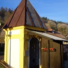
Wegkapelle zum Heiland im Kerker
821 m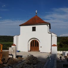
Cemetery chapel
700 m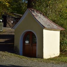
Wegkapelle Mariahilf
215 m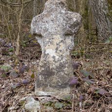
Steinkreuz (D-3-73-112-160)
865 m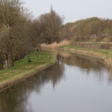
Abschnitt des Ludwig-Donau-Main-Kanals #10
531 m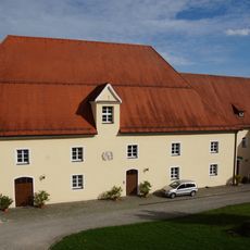
Klosterbrauerei Klosterplatz 1 in Berching
527 m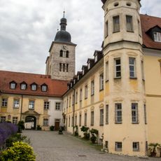
Cultural heritage D-3-6934-0027 in Berching
577 m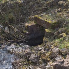
Kanalausleitung
837 m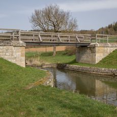
Brücke bei Biberbach
495 m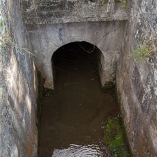
Creek culvert
187 m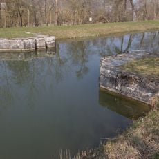
Canal safety lock near Plankstetten
351 m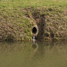
Bacheinlauf bei km 44 6
482 m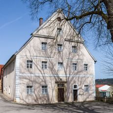
Amtshaus
671 m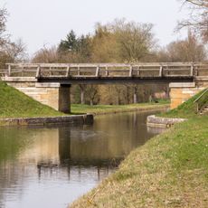
Brücke bei Plankstetten
212 m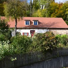
Ehemaliges Kleinbauernhaus
840 m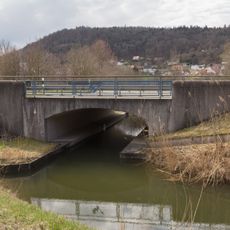
Brücke B299 bei km 44 9
797 m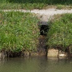
Bacheinleitung bei Plankstetten
188 m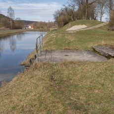
Bacheinlauf bei km 45,05
947 m
Bacheinlauf bei km 43 8
315 m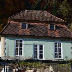
Gartenhaus Fribertshofener Straße 1 in Berching
654 m
Creek culvert at km 44.2
105 m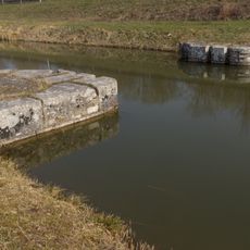
Kanalsperre bei km 44 8
710 m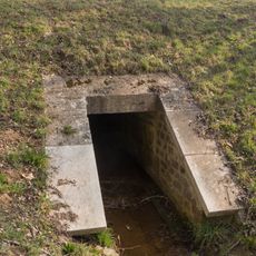
Bachdurchlass bei km 44 5
410 m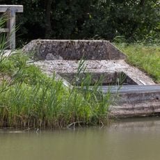
Zwangsentlastung bei Plankenstetten
192 m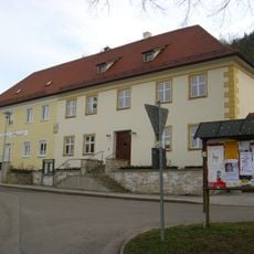
Klosterhospiz Klosterplatz 2-3
654 m
Grundablass bei Plankstetten
195 mReviews
Visited this place? Tap the stars to rate it and share your experience / photos with the community! Try now! You can cancel it anytime.
Discover hidden gems everywhere you go!
From secret cafés to breathtaking viewpoints, skip the crowded tourist spots and find places that match your style. Our app makes it easy with voice search, smart filtering, route optimization, and insider tips from travelers worldwide. Download now for the complete mobile experience.

A unique approach to discovering new places❞
— Le Figaro
All the places worth exploring❞
— France Info
A tailor-made excursion in just a few clicks❞
— 20 Minutes