
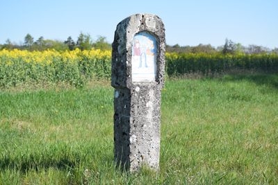
Limestone pillar, 18./19. Jahrhundert, „naive“ Bemalung aus jüngerer Zeit; an der Straße nach Hirschberg
Location: Beilngries
Address: Kaldorf (Beilngries), Grundfeld 92339
GPS coordinates: 49.04951,11.43658
Latest update: October 17, 2025 10:40
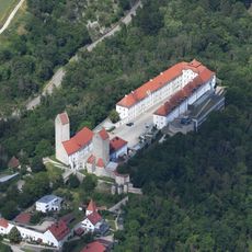
Hirschberg Castle
2.1 km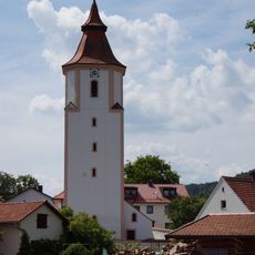
Ensemble St. Michael's church
1.5 km
Village chapel
1.6 km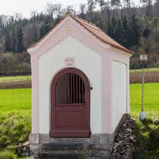
Wayside chapel at Elendfeld
1.7 km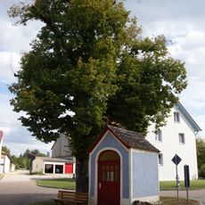
Saint Sebastian's chapel
1.9 km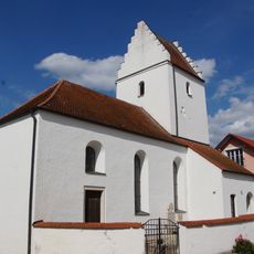
Saint Mary's Affliction
1.9 km
Saint John's wayside shrine
2.1 km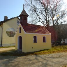
Katholische Dorfkapelle
1.9 km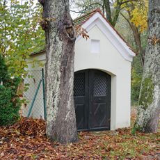
Wayside chapel
2.1 km
Residential building
2 km
Gate tower
2 km
Castle chapel John the Evangelist
2.1 km
Former farmhouse
1.7 km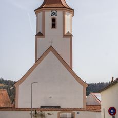
Cultural heritage D-1-6934-0078 in Beilngries
1.5 km
Steinkreuz in Hirschberg
1.9 km
Defensive tower of the forecourt; coat of arms
2 km
Befestigungsturm der Vorburg
2 km
Defensive tower of the forecourt
2 km
Former bridle-path
1.9 km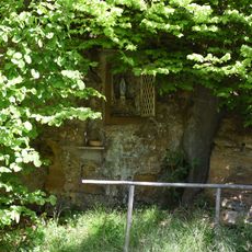
Wayside shrine
1.3 km
Bergfried
2 km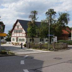
Farmhouse
1.9 km
Former farmhouse
1.7 km
Defensive tower of the forecourt
1.9 km
Gate portal
2 km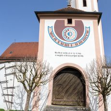
Gate tower
1.5 km
Churchyard wall
1.5 km
Zwei Wegkapellen bei Biberbach
1.8 kmReviews
Visited this place? Tap the stars to rate it and share your experience / photos with the community! Try now! You can cancel it anytime.
Discover hidden gems everywhere you go!
From secret cafés to breathtaking viewpoints, skip the crowded tourist spots and find places that match your style. Our app makes it easy with voice search, smart filtering, route optimization, and insider tips from travelers worldwide. Download now for the complete mobile experience.

A unique approach to discovering new places❞
— Le Figaro
All the places worth exploring❞
— France Info
A tailor-made excursion in just a few clicks❞
— 20 Minutes