
Ehemaliges Klostergebäude,, building in Neumarkt-Sankt Veit, Upper Bavaria, Germany
Location: Neumarkt-Sankt Veit
Address: Sankt Veit 2
GPS coordinates: 48.35900,12.51685
Latest update: April 10, 2025 07:03
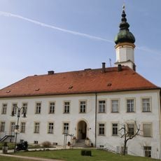
St. Vitus' Abbey on the Rott
42 m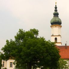
Pfarrkirche
25 m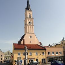
St. Johann Baptist
592 m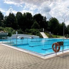
Städtisches Freibad
660 m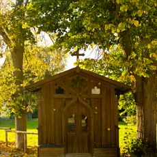
Johann-Nepomuk-Kapelle,
262 m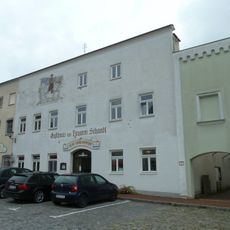
Gasthaus Zum Tragerwirt
701 m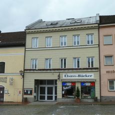
Wohn- und Geschäftshaus, sogenanntes Seiler Maier-Haus
678 m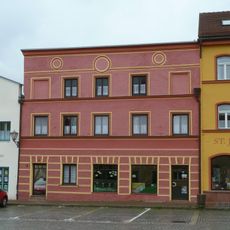
Metzgerei und Wohnhaus
638 m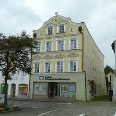
Wohn- und Geschäftshaus, sogenanntes Edelmann-Haus
699 m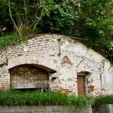
Bierkeller
116 m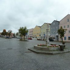
Stadtplatz
663 m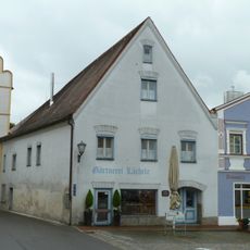
Ehemaliges Rathaus
592 m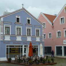
Wohn- und Geschäftshaus
605 m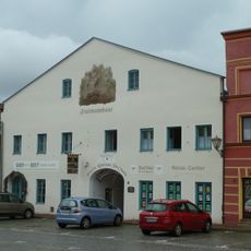
Ehemalige Brauerei Fruhmann
631 m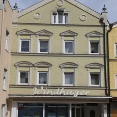
Wohn- und Geschäftshaus
564 m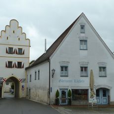
Unteres Tor
576 m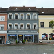
Eisenhandlung
664 m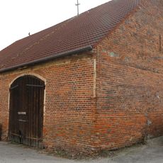
Stadel
559 m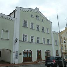
Ehemaliges Rathaus- und Bankgebäude
678 m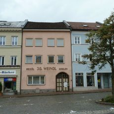
Wohnhaus
674 m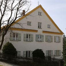
Ehemaliges Schul- und Gemeindehaus von St. Veit
117 m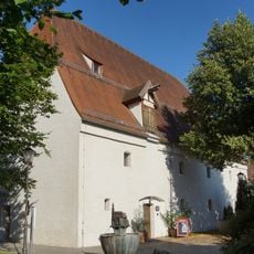
Ehemaliger herzoglicher Zehentkasten
657 m
Wohn- und Geschäftshaus
666 m
Wohnhaus
619 m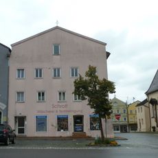
Wohn- und Geschäftshaus
612 m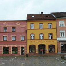
Apotheke, sogenannte St. Johannes-Apotheke
656 m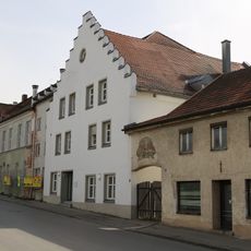
Brauereigasthof Genossenschaft
437 m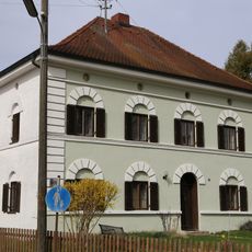
Wohnhaus
570 mReviews
Visited this place? Tap the stars to rate it and share your experience / photos with the community! Try now! You can cancel it anytime.
Discover hidden gems everywhere you go!
From secret cafés to breathtaking viewpoints, skip the crowded tourist spots and find places that match your style. Our app makes it easy with voice search, smart filtering, route optimization, and insider tips from travelers worldwide. Download now for the complete mobile experience.

A unique approach to discovering new places❞
— Le Figaro
All the places worth exploring❞
— France Info
A tailor-made excursion in just a few clicks❞
— 20 Minutes