
Schiffbrücke, ständerbau mit Walmdach auf massivem Flusspfeiler, bezeichnet mit „1761“
Location: Amberg
Address: Vils
GPS coordinates: 49.44384,11.85741
Latest update: March 11, 2025 19:46

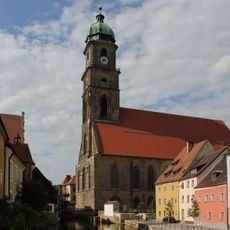
St. Martin
120 m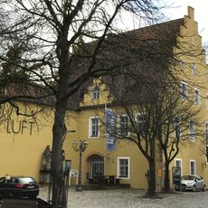
Luftmuseum
57 m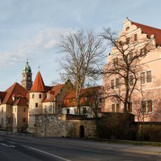
Electoral Palace
127 m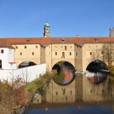
Stadtbrille Amberg
115 m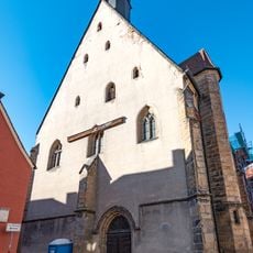
Katholische Nebenkirche, sogenannte Frauenkirche, ehemalige Hofkapelle
158 m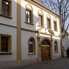
Synagogue (Amberg)
84 m
Stadtmuseum Amberg
149 m
Kurfürstliche Regierungskanzlei
106 m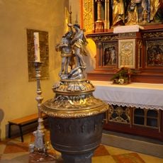
Baptismal font of St. Martin (Amberg)
125 m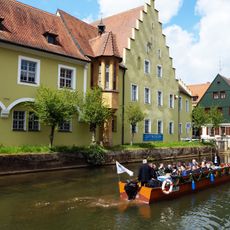
LUFTMUSEUM Amberg e.V.
53 m
Ehemalige Kurfürstliche Hofhaltung, jetzt Museum
52 m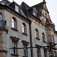
Regierungsstraße 1
140 m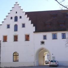
Kurfürstliches Zeughaus
88 m
Ehemalige Büttnerei
101 m
Raseliushaus
60 m
Marktplatz 4
175 m
Marktplatz 5
179 m
Schiffgasse 7
60 m
Ehemaliges Militärlazarett, jetzt Amtsgericht
169 m
Ehemaliges kurfürstliches Beamtenwohnhaus, später Lebzelterei
52 m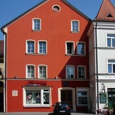
Salzstadelplatz 1
136 m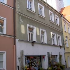
Salzgasse 6
69 m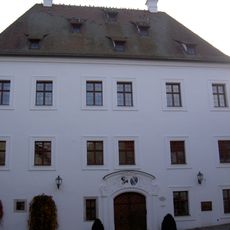
Marstallgasse 4
83 m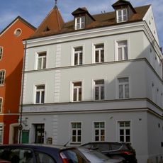
Salzstadelplatz 3
120 m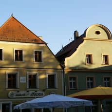
Salzstadelplatz 7
91 m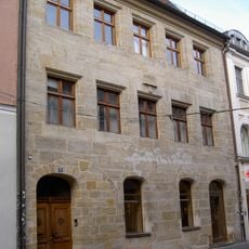
Patrizierhaus, von Rummelsches Stadthaus
166 m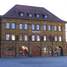
Marktplatz 3
141 m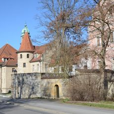
Schloßgraben 1
116 mReviews
Visited this place? Tap the stars to rate it and share your experience / photos with the community! Try now! You can cancel it anytime.
Discover hidden gems everywhere you go!
From secret cafés to breathtaking viewpoints, skip the crowded tourist spots and find places that match your style. Our app makes it easy with voice search, smart filtering, route optimization, and insider tips from travelers worldwide. Download now for the complete mobile experience.

A unique approach to discovering new places❞
— Le Figaro
All the places worth exploring❞
— France Info
A tailor-made excursion in just a few clicks❞
— 20 Minutes