
Stadtbefestigung beim Kaiser-Wilhelm-Ring
Stadtbefestigung beim Kaiser-Wilhelm-Ring, südwestliche und nordwestliche Abschnitte der Stadtbefestigung mit Stadtmauer, Zwinger, Graben, 14.–18. Jahrhundert
Location: Amberg
Address: Kaiser-Wilhelm-Ring
GPS coordinates: 49.44660,11.85238
Latest update: April 8, 2025 03:04

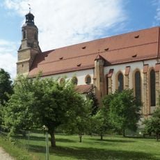
St. Georg
332 m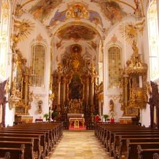
Schulkirche
226 m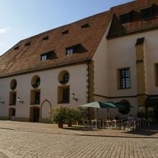
Stadttheater Amberg
157 m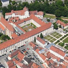
Jesuitenkolleg Amberg
302 m
Provincial Library Amberg
303 m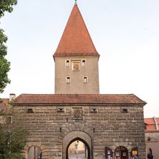
Vilstor
56 m
Ehemalige Malteserbrauerei
298 m
St. Augustinus
241 m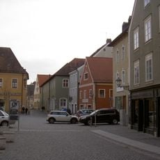
Roßmarkt 8
320 m
Viehmarkt 4
203 m
Löffelgasse 4
345 m
Regierungsstraße 1
337 m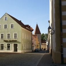
Vilsstraße 1
118 m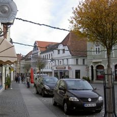
Georgenstraße 57
283 m
Georgenstraße 33 (Amberg)
284 m
Schrannenplatz 3
198 m
Lyceums-Gebäude
318 m
Wohnhaus
257 m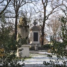
Max-Joseph-Denkmal
53 m
Patrizierhaus, von Rummelsches Stadthaus
315 m
Georgenstraße 51
283 m
Georgenstraße 59
292 m
Georgenstraße 61
300 m
Georgenstraße 65
312 m
Beamtenwohnhaus
254 m
Wohnhaus
258 m
Neustift 30
331 m
Viehmarktgasse 8
217 mReviews
Visited this place? Tap the stars to rate it and share your experience / photos with the community! Try now! You can cancel it anytime.
Discover hidden gems everywhere you go!
From secret cafés to breathtaking viewpoints, skip the crowded tourist spots and find places that match your style. Our app makes it easy with voice search, smart filtering, route optimization, and insider tips from travelers worldwide. Download now for the complete mobile experience.

A unique approach to discovering new places❞
— Le Figaro
All the places worth exploring❞
— France Info
A tailor-made excursion in just a few clicks❞
— 20 Minutes