
Wasserwirtschafts- und ehemaliges Landbauamt
Wasserwirtschafts- und ehemaliges Landbauamt, zweigeschossiger und gestelzter Zweiflügelbau mit Walmdach, Erkern und Puttoreliefs, später Jugendstil, 1910
Location: Amberg
Address: Archivstraße 1
GPS coordinates: 49.44126,11.85272
Latest update: March 11, 2025 12:19
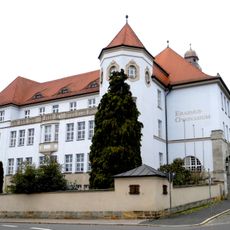
Erasmus-Gymnasium
267 m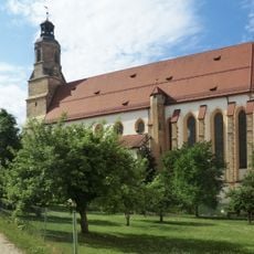
St. Georg
366 m
Electoral Palace
335 m
Stadtbrille Amberg
377 m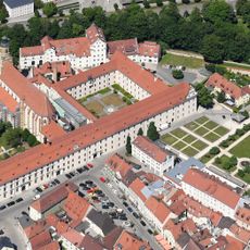
Jesuitenkolleg Amberg
369 m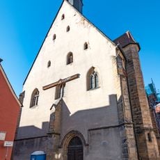
Katholische Nebenkirche, sogenannte Frauenkirche, ehemalige Hofkapelle
356 m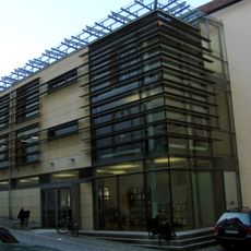
Provincial Library Amberg
368 m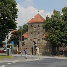
Wingershofer Tor
255 m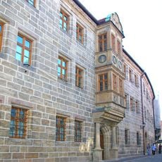
Kurfürstliche Regierungskanzlei
395 m
Kurfürstenbad
389 m
Roßmarkt 8
321 m
Neustift 45
228 m
Lyceums-Gebäude
307 m
Badgasse 7
271 m
Malteserplatz 3
252 m
Georgenstraße 33 (Amberg)
354 m
Ehemaliges kurfürstliches Beamtenwohnhaus, später Lebzelterei
407 m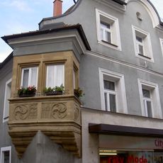
Wohnhaus
368 m
Roßmarkt 13
317 m
Georgenstraße 57
314 m
Wohnhaus
399 m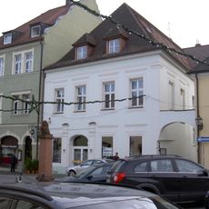
Georgenstraße 61
304 m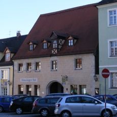
Georgenstraße 65
305 m
Georgenstraße 59
308 m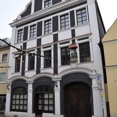
Georgenstraße 51
313 m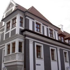
Ehemaliges Bäckereianwesen
361 m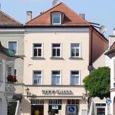
Beamtenwohnhaus
385 m
Schloßgraben 1
329 mReviews
Visited this place? Tap the stars to rate it and share your experience / photos with the community! Try now! You can cancel it anytime.
Discover hidden gems everywhere you go!
From secret cafés to breathtaking viewpoints, skip the crowded tourist spots and find places that match your style. Our app makes it easy with voice search, smart filtering, route optimization, and insider tips from travelers worldwide. Download now for the complete mobile experience.

A unique approach to discovering new places❞
— Le Figaro
All the places worth exploring❞
— France Info
A tailor-made excursion in just a few clicks❞
— 20 Minutes