
Mintraching, 2. Hälfte 18. Jahrhundert
Location: Mintraching
Address: Rosenhofer Straße 15; Rosenhofer Straße 15a
GPS coordinates: 48.95703,12.23876
Latest update: March 8, 2025 11:20

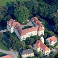
Wasserschloss Köfering
3.8 km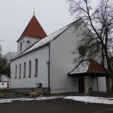
Mariä Himmelfahrt
3.1 km
Hofmarkschloss Niedertraubling
4 km
St. Maria (Scheuer)
2.3 km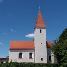
St. Stephan (Tiefbrunn)
3.1 km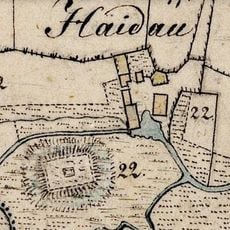
Burgstall Haidau
2.1 km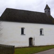
Filialkirche St. Georg in Roith
3.7 km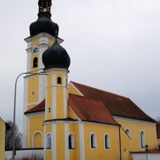
St. Mauritius
320 m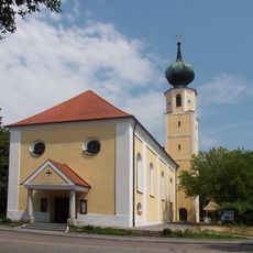
St. Michael
3.8 km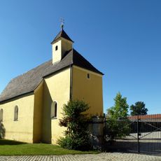
St. Peter
2.4 km
Kapelle Sieben Schmerzen Mariä, sogenannte Barzefall-Kapelle
2 km
Wieskapelle Zum Gegeißelten Heiland
3.8 km
Nebenkirche St. Florian
2.9 km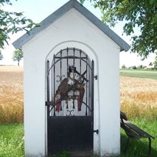
Kapelle Johannes von Nepomuk
3.5 km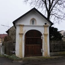
Wegkapelle
766 m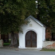
Wegkapelle, sogenannte Meyringer-Kapelle
4.1 km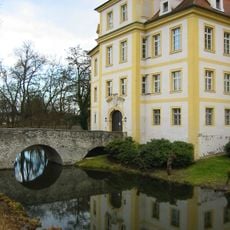
Wasserschloss Köfering
3.8 km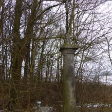
Wegkreuz
2 km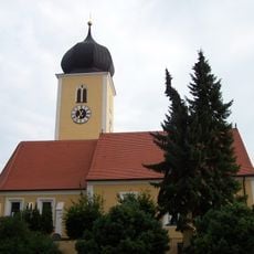
St. Maria
2.3 km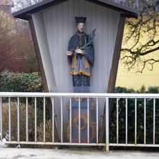
Figur des hl. Johannes Nepomuk
135 m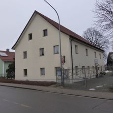
Mintraching
364 m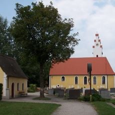
St. Peter
4 km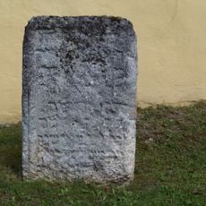
Jüdischer Grabstein
1.7 km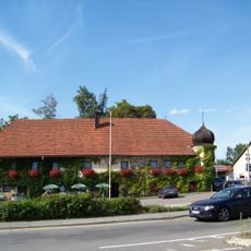
Gasthaus Post
3.4 km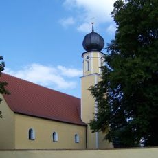
St. Peter und Paul
1.7 km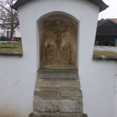
Bildstockkopf
4.1 km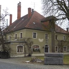
Ehemaliges Landsassengut
3.9 km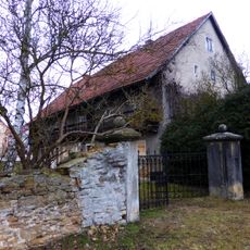
Mintraching
595 mReviews
Visited this place? Tap the stars to rate it and share your experience / photos with the community! Try now! You can cancel it anytime.
Discover hidden gems everywhere you go!
From secret cafés to breathtaking viewpoints, skip the crowded tourist spots and find places that match your style. Our app makes it easy with voice search, smart filtering, route optimization, and insider tips from travelers worldwide. Download now for the complete mobile experience.

A unique approach to discovering new places❞
— Le Figaro
All the places worth exploring❞
— France Info
A tailor-made excursion in just a few clicks❞
— 20 Minutes