
Bauernhof, ehem. Wohnhaus, zweigeschossiger und traufständiger Satteldachbau mit Blockbau-Obergeschoss und Schrot, 18. Jahrhundert;
Location: Wiesent
Address: Dietersweg 40
GPS coordinates: 49.04020,12.40108
Latest update: April 27, 2025 05:10
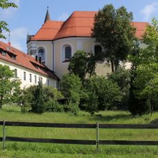
Frauenzell Abbey
2.8 km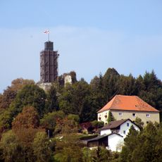
Burg Brennberg
3.6 km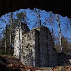
Burgruine Heilsberg
1.2 km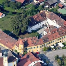
Schloss Wiesent
3.9 km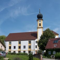
Mariä Himmelfahrt (Wiesent)
4 km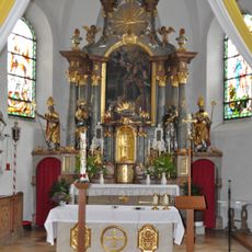
Sankt Rupert
3.4 km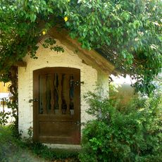
Wegkapelle
2.4 km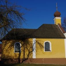
Kath. Nebenkirche Mariä Heimsuchung
4 km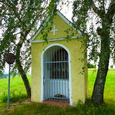
Votivkapelle 14 Nothelfer
2.9 km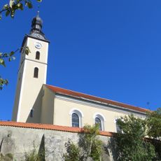
Katholische Pfarrkirche St. Rupert
3.5 km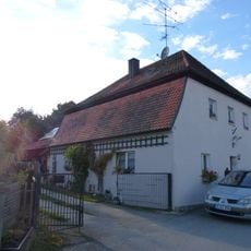
Wohnhaus
3.8 km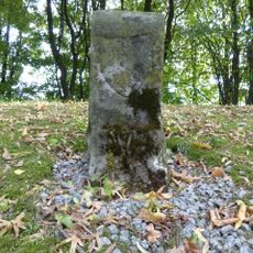
Grenzstein der ehem. Herrschaft Wiesent und des Hochstifts Regensburg
4.2 km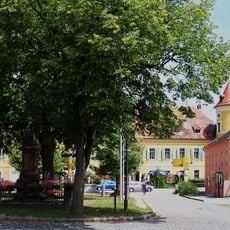
Kriegerdenkmal für die im deutsch-französischen Krieg 1870/71 Gefallenen
4 km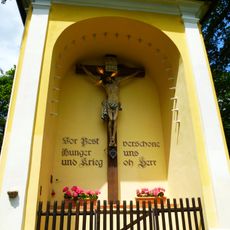
Kapelle
4.1 km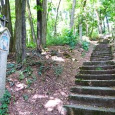
Kreuzweg
4.2 km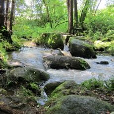
Bachtäler im Falkensteiner Vorwald
2.1 km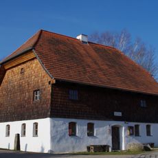
Ehemaliges Spital
3.3 km
Ehem. Bauernhaus
3.9 km
Burgberg bei Brennberg
3.6 km
Wohnstallhaus
2.4 km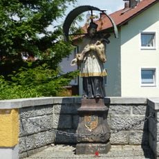
Figur des hl Nepomuk
4 km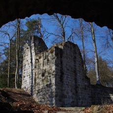
Burgruine Heilsberg-Pangerlhof
1.2 km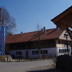
Gasthaus
2.7 km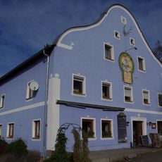
Gasthof
3.5 km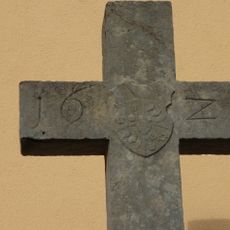
Steinkreuz
4.1 km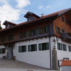
Gasthaus
3.5 km
Zugehöriges Wirtschaftsgebäude
3.8 km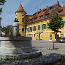
Schloss Wiesent
4 kmReviews
Visited this place? Tap the stars to rate it and share your experience / photos with the community! Try now! You can cancel it anytime.
Discover hidden gems everywhere you go!
From secret cafés to breathtaking viewpoints, skip the crowded tourist spots and find places that match your style. Our app makes it easy with voice search, smart filtering, route optimization, and insider tips from travelers worldwide. Download now for the complete mobile experience.

A unique approach to discovering new places❞
— Le Figaro
All the places worth exploring❞
— France Info
A tailor-made excursion in just a few clicks❞
— 20 Minutes