
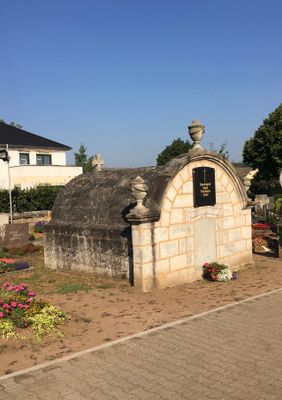
Friedhof, einfriedungsmauer, Sandsteinquader 1720, 1826 und 1886
Location: Möhrendorf
Address: Kirchenweg
GPS coordinates: 49.64021,11.00145
Latest update: March 9, 2025 07:01
Kleinseebacher Mühle
1.1 km
BLOCKHELDEN climbing gym Frankenjura
1.3 km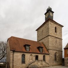
St. Oswald und Martin
45 m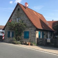
Kleinbauernhaus
1.3 km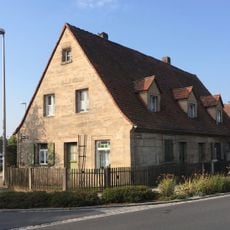
Eingeschossiger Wohnstallbau
142 m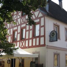
Gasthaus Schuh
1.3 km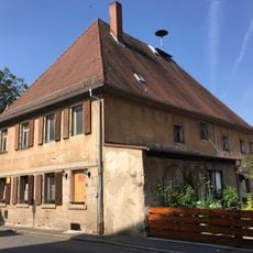
Gasthaus zum Grünen Baum
1.3 km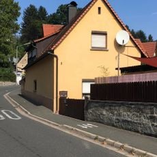
Kleinbauernhaus
1.2 km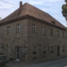
Ehemaliges Verwalterhaus
962 m
Ehemaliges Forsthaus
110 m
Tafernwirtschaft
106 m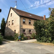
Bauernhof
922 m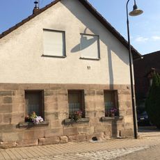
Bauernhof
94 m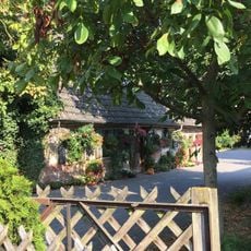
Kleinbauernhaus
62 m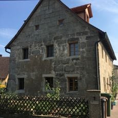
Sandsteinquaderbau
1.1 km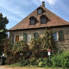
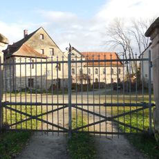
Ehemaliger Herrensitz
940 m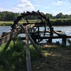
Wasserschöpfräder an der Regnitz
884 m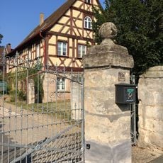
Pfarrhaus
161 m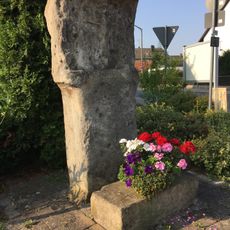
Marter
345 m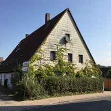
Wohnstallhaus
129 m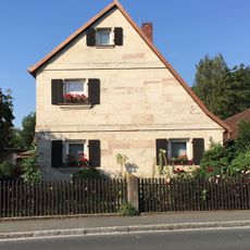
Frackdachhaus
167 m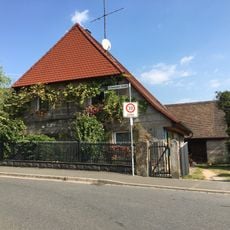
Bauernhaus
1.2 km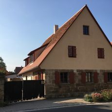
Sandsteinquaderbau
106 m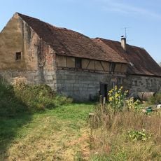
Kleinbauernhaus
885 m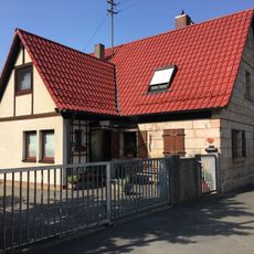
Bauernhof
1.3 km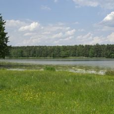
Markwald bei Baiersdorf
1.6 km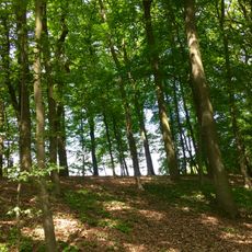
Hirschkäfervorkommen bei Kleinseebach
1.2 km
Kleinbauernhaus
1.2 kmReviews
Visited this place? Tap the stars to rate it and share your experience / photos with the community! Try now! You can cancel it anytime.
Discover hidden gems everywhere you go!
From secret cafés to breathtaking viewpoints, skip the crowded tourist spots and find places that match your style. Our app makes it easy with voice search, smart filtering, route optimization, and insider tips from travelers worldwide. Download now for the complete mobile experience.

A unique approach to discovering new places❞
— Le Figaro
All the places worth exploring❞
— France Info
A tailor-made excursion in just a few clicks❞
— 20 Minutes