
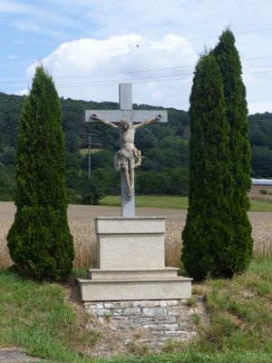
Wegkreuz, cultural heritage monument D-4-74-161-37 (0) in Pretzfeld, Bavaria
Location: Pretzfeld
Elevation above the sea: 296 m
Address: Staatsstraße 2260, an der Straße nach Pretzfeld
GPS coordinates: 49.75244,11.19064
Latest update: March 3, 2025 05:27
Burgstall Schlüsselstein
2.4 km
Burgstall Dietrichstein (Lützelsdorf)
991 m
St. Kilian
1.3 km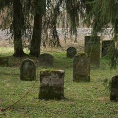
Jüdisch
1 km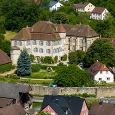
Schloss
1.4 km
Steam train Franconian Switzerland e.V.
2.7 km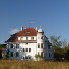
Bauernhaus
1.9 km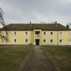
Schloss
414 m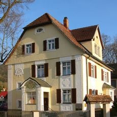
Villa
2.8 km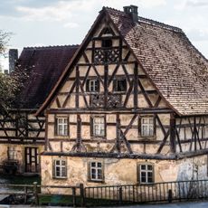
Wassermühle
1.5 km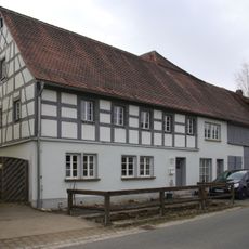
Bauernhaus
298 m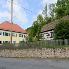
Pfarrhof
2.9 km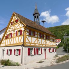
Bürgerzentrum
2.8 km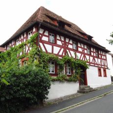
Cultural heritage D-4-74-161-14 in Pretzfeld
1.4 km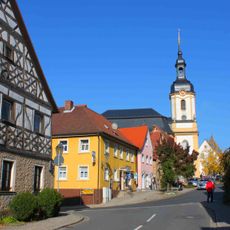
Ensemble Hauptstraße/Schlossberg
1.3 km
Badehaus
1.3 km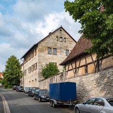
Schulgebäude
1.4 km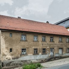
Wohnhaus
1.3 km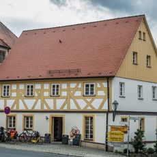
Bauernhaus
1.3 km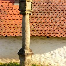
Marter
2.6 km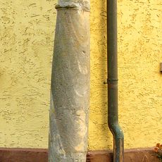
Marter
2.6 km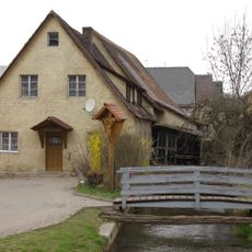
Wassermühle
1.3 km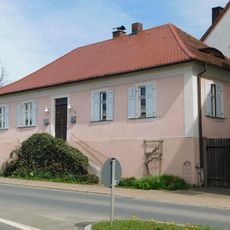
Former schoolhouse of Wannbach
1.7 km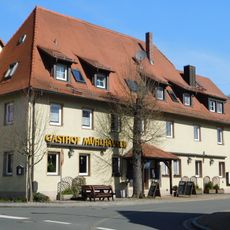
Inn in the village Wannbach
1.7 km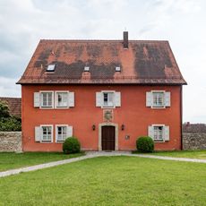
Pfarrhof
1.3 km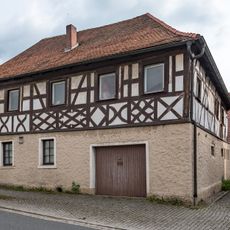
Gasthaus
1.3 km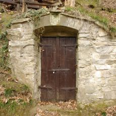
Kellerwald (Pretzfeld)
981 m
Köblergut
1.3 kmReviews
Visited this place? Tap the stars to rate it and share your experience / photos with the community! Try now! You can cancel it anytime.
Discover hidden gems everywhere you go!
From secret cafés to breathtaking viewpoints, skip the crowded tourist spots and find places that match your style. Our app makes it easy with voice search, smart filtering, route optimization, and insider tips from travelers worldwide. Download now for the complete mobile experience.

A unique approach to discovering new places❞
— Le Figaro
All the places worth exploring❞
— France Info
A tailor-made excursion in just a few clicks❞
— 20 Minutes