
Kellerwald, mitte 19. Jahrhundert bis Mitte 20. Jahrhundert
Location: Pretzfeld
Address: Unterer Berg
GPS coordinates: 49.75977,11.18305
Latest update: March 7, 2025 15:52

Burgstall Schlüsselstein
1.9 km
Burgstall Dietrichstein (Lützelsdorf)
1.5 km
St. Kilian
781 m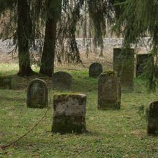
Jüdisch
477 m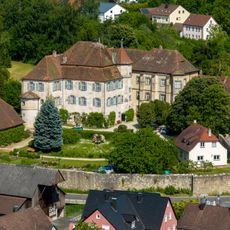
Schloss
793 m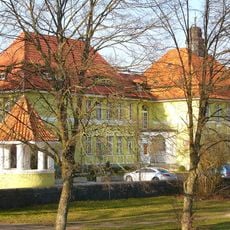
Rathaus in Ebermannstadt
2.1 km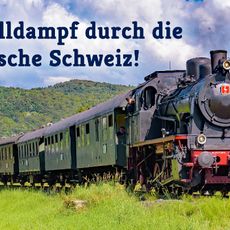
Steam train Franconian Switzerland e.V.
1.9 km
Amtsgericht
2.1 km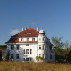
Bauernhaus
2 km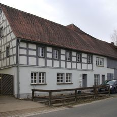
Bauernhaus
1.2 km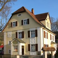
Villa
2 km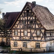
Wassermühle
885 m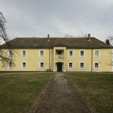
Schloss
1.3 km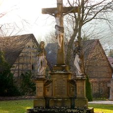
Kreuzigungsgruppe
2.2 km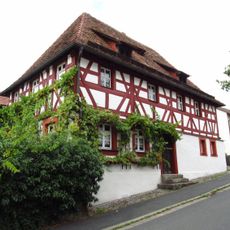
Cultural heritage D-4-74-161-14 in Pretzfeld
810 m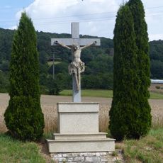
Wegkreuz
981 m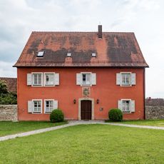
Pfarrhof
808 m
Schulgebäude
815 m
Wohnhaus
788 m
Wassermühle
877 m
Badehaus
868 m
Bauernhaus
780 m
Marter
1.7 km
Marter
1.7 km
Ensemble Hauptstraße/Schlossberg
775 m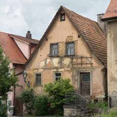
Köblergut
801 m
Gasthaus
836 m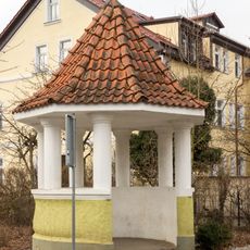
Pavillon Franz-Dörrzapf-Straße 10
2.1 kmReviews
Visited this place? Tap the stars to rate it and share your experience / photos with the community! Try now! You can cancel it anytime.
Discover hidden gems everywhere you go!
From secret cafés to breathtaking viewpoints, skip the crowded tourist spots and find places that match your style. Our app makes it easy with voice search, smart filtering, route optimization, and insider tips from travelers worldwide. Download now for the complete mobile experience.

A unique approach to discovering new places❞
— Le Figaro
All the places worth exploring❞
— France Info
A tailor-made excursion in just a few clicks❞
— 20 Minutes