
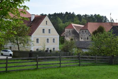
Hammermühle 4, mühlenhaus, zweigeschossiges Oberpfälzer Bänderhaus mit Satteldach, am Türstock bezeichnet mit 1850;
Location: Parsberg
Address: Hammermühle 4
GPS coordinates: 49.17148,11.72552
Latest update: March 11, 2025 11:21
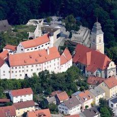
Burg Parsberg
1.3 km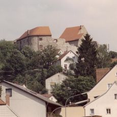
Burg Lupburg
2.8 km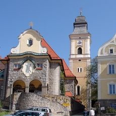
St. Andreas
1.3 km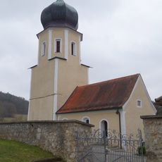
St. Andreas
2.1 km
Abschnittsbefestigung Tischnerberg
3.2 km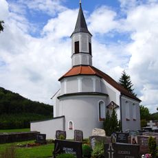
St. Laurentius (Hackenhofen)
734 m
Mariä Himmelfahrt (Degerndorf)
1.5 km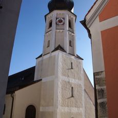
St. Barbara
2.9 km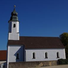
Allerheiligen (Darshofen)
2.8 km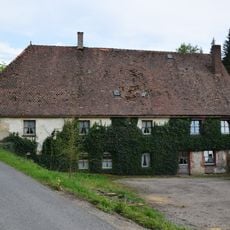
Mühle
3.7 km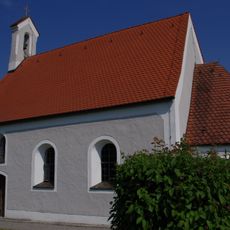
St. Salvator
3.1 km
St. Georg
3.4 km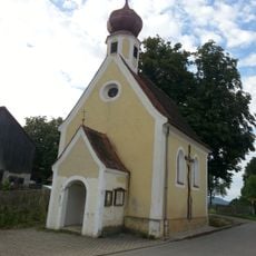
Filialkirche Unbeflecktes Herz Mariens
3.3 km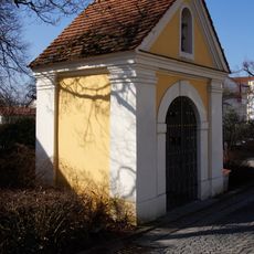
Apothekerkapelle
1.4 km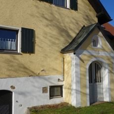
Kapelle St. Maria
33 m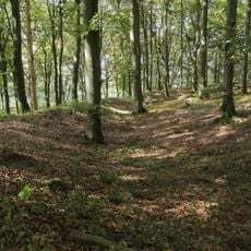
Landschaftsschutzgebiet Parsberg
1.1 km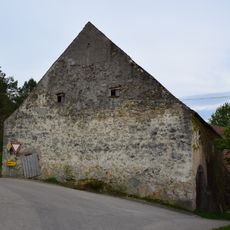
Scheune Wieselbruck 1 in Lupburg
3.8 km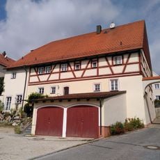
Ehemaliges Wohnstallhaus
2.9 km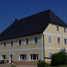
Bauernhaus
3 km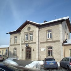
Station building at Parsberg station
841 m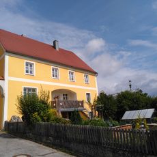
Ehemaliges Wohnstallhaus
2.9 km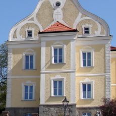
Katholisches Pfarrhaus Parsberg
1.4 km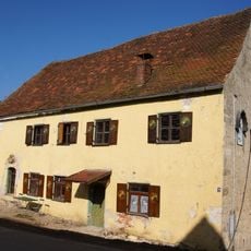
Christlmühle
3.3 km
Kriegerdenkmal Parsberg
1.4 km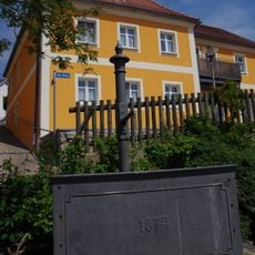
Brunnen
2.8 km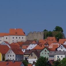
Ensemble Burgberg und Markt Lupburg
2.7 km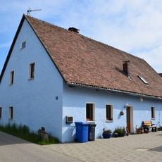
Wohnstallhaus, Haus 3
3.8 km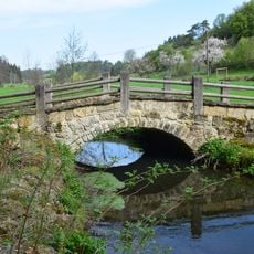
Brücke
3 kmReviews
Visited this place? Tap the stars to rate it and share your experience / photos with the community! Try now! You can cancel it anytime.
Discover hidden gems everywhere you go!
From secret cafés to breathtaking viewpoints, skip the crowded tourist spots and find places that match your style. Our app makes it easy with voice search, smart filtering, route optimization, and insider tips from travelers worldwide. Download now for the complete mobile experience.

A unique approach to discovering new places❞
— Le Figaro
All the places worth exploring❞
— France Info
A tailor-made excursion in just a few clicks❞
— 20 Minutes