
Blockbau-Stadel, volkstorf; Anfang 19. Jahrhundert
Location: Arnstorf
Address: Volkstorf 1
GPS coordinates: 48.58661,12.80278
Latest update: May 20, 2025 23:01
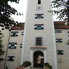
Schloss Mariakirchen
4.5 km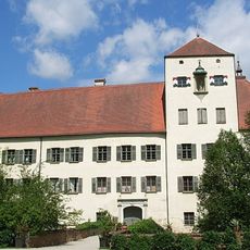
Oberes Schloss
3 km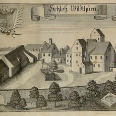
Schloss Wildthurn
6.8 km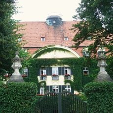
Schloss Adldorf
5.9 km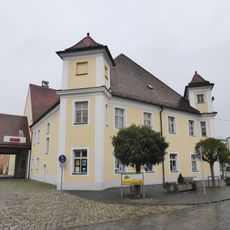
Schloss Arnstorf
3 km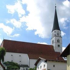
Sankt Georg
3.4 km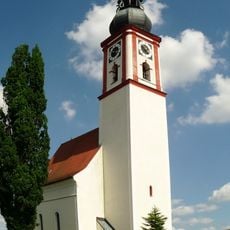
Katholische Pfarrkirche St. Martin
6 km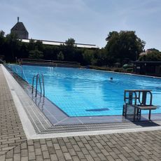
Freibad Arnstorf
2.8 km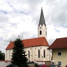
St. Stephanus
7.3 km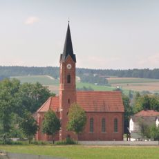
St. Mauritius
7 km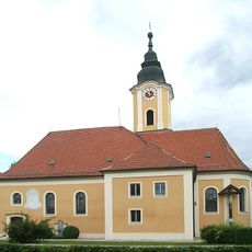
Pfarrkirche Mariä Empfängnis
5.9 km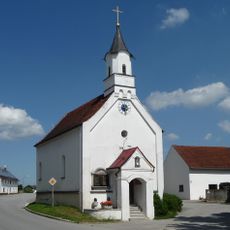
Katholische Pfarrkirche St. Wolfgang
5.8 km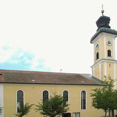
St. Martin
6.7 km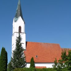
Expositurkirche Mariä Namen
6.8 km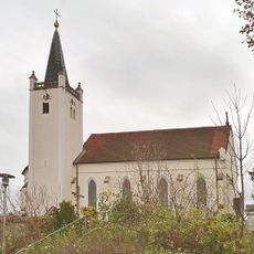
Katholische Pfarrkirche St. Michael
4.7 km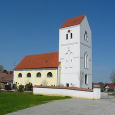
St. Stephan
6.7 km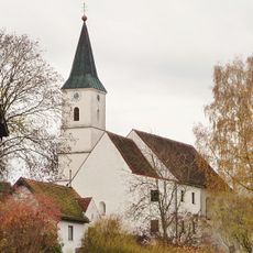
Katholische Filialkirche St. Martin
4.5 km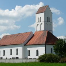
Katholische Filialkirche Mariä Empfängnis
5.8 km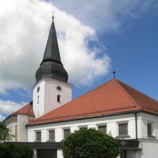
Katholische Pfarrkirche St. Bartholomäus
5.3 km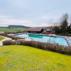
Freibad Simbach
5.5 km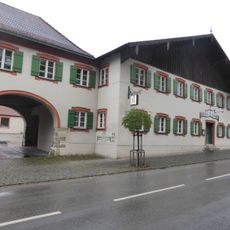
Gasthaus Oberwirt
3.1 km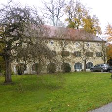
Ehemaliges Verwaltergebäude des Oberen Schlosses
3.1 km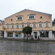
Wohn- und Geschäftshaus
3 km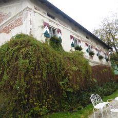
Wohnhaus
3.1 km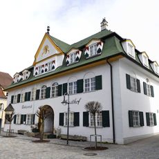
Gasthaus Unterwirt
3 km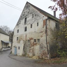
Ehemaliges Wohnhaus und Lager
3.1 km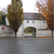
Ehemaliger Torbau des Oberen Schlosses
3.1 km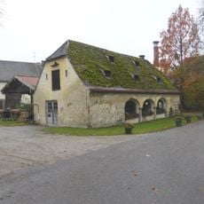
Ehemalige Werkstatt des Oberen Schlosses
3.1 kmReviews
Visited this place? Tap the stars to rate it and share your experience / photos with the community! Try now! You can cancel it anytime.
Discover hidden gems everywhere you go!
From secret cafés to breathtaking viewpoints, skip the crowded tourist spots and find places that match your style. Our app makes it easy with voice search, smart filtering, route optimization, and insider tips from travelers worldwide. Download now for the complete mobile experience.

A unique approach to discovering new places❞
— Le Figaro
All the places worth exploring❞
— France Info
A tailor-made excursion in just a few clicks❞
— 20 Minutes