
Ehemaliges Jagdhäuschen, ruiding; 17./18. Jahrhundert, Walmdachbau
Location: Ensdorf
Address: Ruiding 1
GPS coordinates: 49.34007,11.99787
Latest update: April 8, 2025 03:06

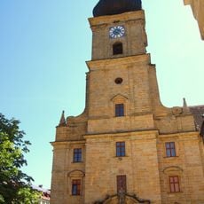
St. Jakobus (Ensdorf)
4.5 km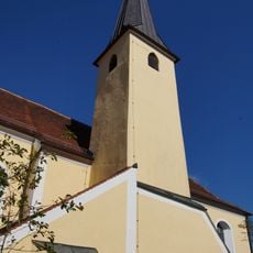
Maria Hilf
4.5 km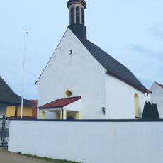
St. Bartholomäus
1.3 km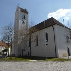
Mariä Himmelfahrt
4.5 km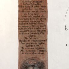
Grabstein für Pfalzgraf Otto V. von Scheyern und seine Gemahlin Heilika
4.4 km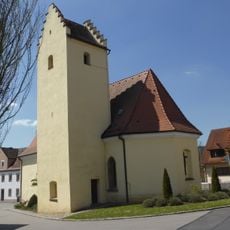
St. Georg
4.1 km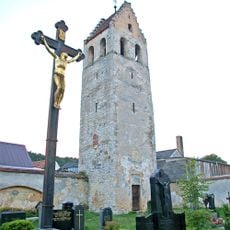
Stephansturm (Ensdorf)
4.6 km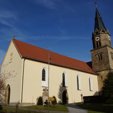
St. Nikolaus
4 km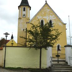
Katholische Pfarrkirche St. Peter und Paul
2.4 km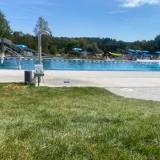
Freibad Rieden
4.3 km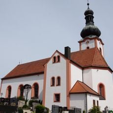
St. Martin
3.8 km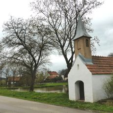
Kapelle, sogenannte Josephskapelle
3.8 km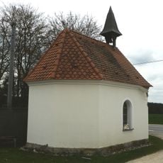
Marienkapelle Götzenöd
4 km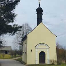
Kapelle St. Magnus
4.2 km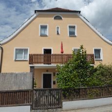
Wohnhaus
4.4 km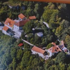
Burgruine Rieden
4.6 km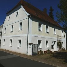
Halbwalmbau
4.4 km
Kallmünzer zwischen Rieden und Thanheim
3.6 km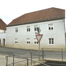
Ehemaliger Gasthof Schmidt
4.6 km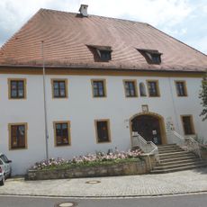
Ehemaliges Forsthaus des Klosters Ensdorf, jetzt katholische Kindergarten
4.4 km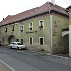
Klosterrichterhaus Ensdorf
4.4 km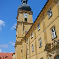
'''Ensemble Kloster Ensdorf mit Hauptstraße'''
4.6 km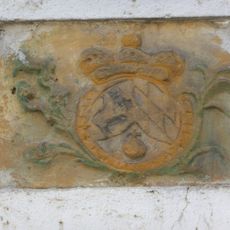
Wappenrelief
4.4 km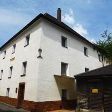
Ehemaliges Eisenamtshaus des Klosters
4.4 km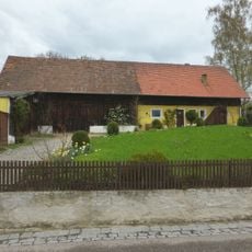
Ehemaliges Bauernhaus
2.6 km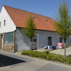
Wohnstallhaus
4.5 km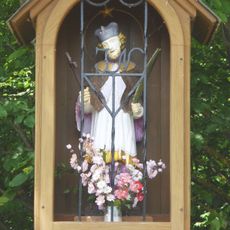
Brückenfigur des hl. Johannes von Nepomuk
4.5 km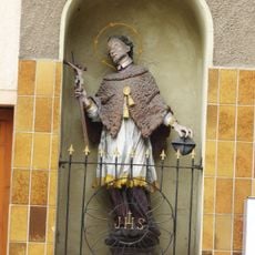
Nischenfigur hl. Johannes von Nepomuk
4.5 kmReviews
Visited this place? Tap the stars to rate it and share your experience / photos with the community! Try now! You can cancel it anytime.
Discover hidden gems everywhere you go!
From secret cafés to breathtaking viewpoints, skip the crowded tourist spots and find places that match your style. Our app makes it easy with voice search, smart filtering, route optimization, and insider tips from travelers worldwide. Download now for the complete mobile experience.

A unique approach to discovering new places❞
— Le Figaro
All the places worth exploring❞
— France Info
A tailor-made excursion in just a few clicks❞
— 20 Minutes