
Getreidekasten, giebelständiger Halbwalmdachbau mit Blockbau-Obergeschoss und Giebelschrot, 18./19. Jahrhundert
Location: Schorndorf
Address: Stegmühle 1
GPS coordinates: 49.15692,12.60204
Latest update: May 15, 2025 01:40
Churpfalzpark Loifling
3.1 km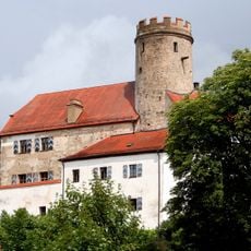
Thierlstein
5.6 km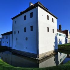
Wasserschloss Loifling
2.9 km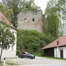
Burgruine Neuhaus
2.1 km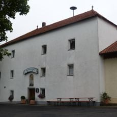
Schloss Atzenzell
5.7 km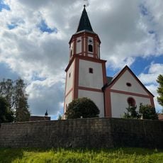
St. Laurentius
6 km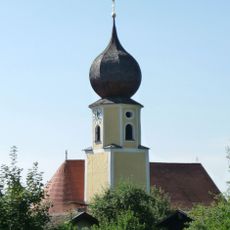
St. Peter und Paul
5.6 km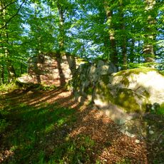
Burg Sattelpeilnstein
5.5 km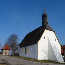
St. Quirinus
6.3 km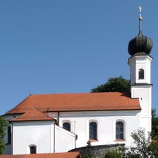
St. Nikolaus
5.5 km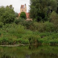
St. Martin
6.6 km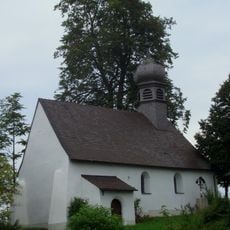
St. Bartholomäus
4.5 km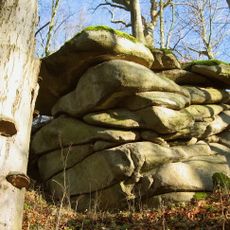
Schloßberg von Sattelpeilnstein
5.4 km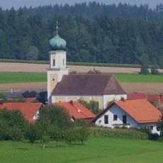
St. Michael
5.1 km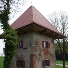
Ehemaliges Mauthäusl
6.3 km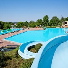
Freibad Platschare Roding
6.5 km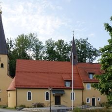
Christuskirche
7.3 km
St. Maria
6.4 km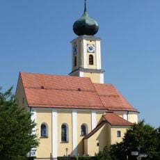
Katholische Pfarrkirche Maria Immaculata
782 m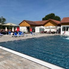
Freibad Sattelbogen
5.3 km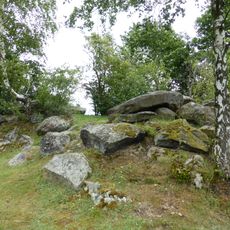
Amphibienvorkommen am Pfahl bei Ried am Pfahl
4.1 km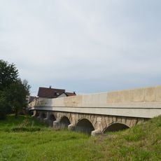
Brücke über den Altbach (Untertraubenbach)
6.3 km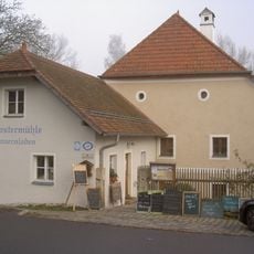
Klostermühle Altenmarkt
6.4 km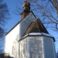
Ehemalige katholische Filialkirche St. Peter und Paul, seit 1962 Leichenhaus
3.2 km
'''Ensemble Marktplatz und Brückenkopf'''
6.4 km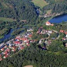
Chamb, Regentalaue und Regen zwischen Roding und Donaumündung
5.1 km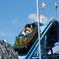
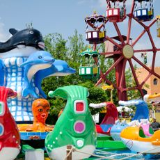
Wildwasserbahn
3.3 km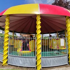
Rosenblütenwirbel
3.1 kmReviews
Visited this place? Tap the stars to rate it and share your experience / photos with the community! Try now! You can cancel it anytime.
Discover hidden gems everywhere you go!
From secret cafés to breathtaking viewpoints, skip the crowded tourist spots and find places that match your style. Our app makes it easy with voice search, smart filtering, route optimization, and insider tips from travelers worldwide. Download now for the complete mobile experience.

A unique approach to discovering new places❞
— Le Figaro
All the places worth exploring❞
— France Info
A tailor-made excursion in just a few clicks❞
— 20 Minutes