
Verwaltungsgebäude, zweigeschossiger Satteldachbau mit Giebelrisalit und kleinem Uhrtürmchen, 1911, später Erweiterung nach Westen
Location: Maxhütte-Haidhof
Address: Hüttenstraße 1
GPS coordinates: 49.20523,12.08716
Latest update: April 8, 2025 23:55

Maxhütte
245 m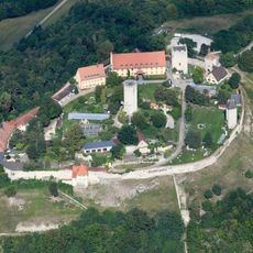
Burg Burglengenfeld
3.1 km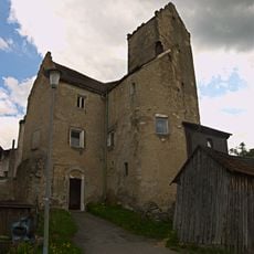
Burg Leonberg
3.2 km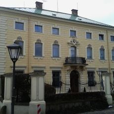
Schloss Leonberg
3.1 km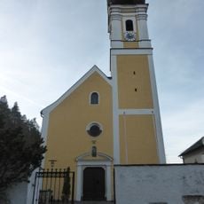
Mariä Heimsuchung
2 km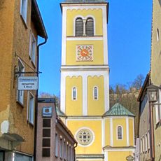
St. Vitus
3.3 km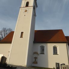
St. Martin
3.3 km
St. Josef
2.7 km
Almenhof, Beim Klingentor
3.3 km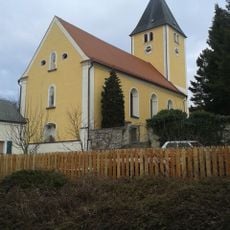
St. Leonhard
3.2 km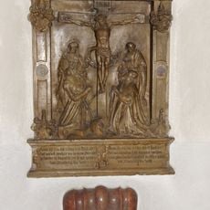
Epitaph of Bernhard von Hyrnhaim in St. Vitus (Burglengenfeld)
3.3 km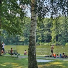
Naturbad Höllohe
2.8 km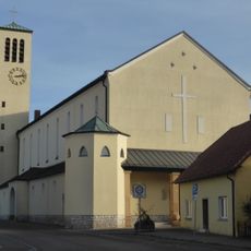
Herz-Jesu-Kirche
1.7 km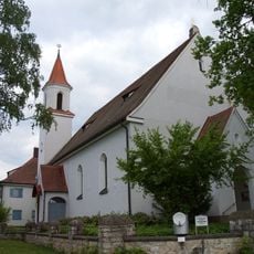
St. Barbara
506 m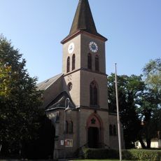
Segenskirche
608 m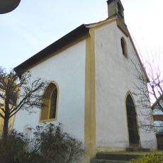
Ehemalige Friedhofskapelle
1.9 km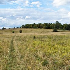
Oberes Naabtal: Münchshofer Berg mit Brunnberg von Burglengenfeld
3 km
Burgberg von Burglengenfeld
3.1 km
Ehemaliges Schleif- und Polierwerk auf altem Mühlenstandort
3.7 km
Wohnhaus
3.6 km
Wohn- und Geschäftshaus
3.7 km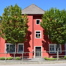
Wohnhaus
3.7 km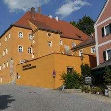
Ehemaliges Pfleghaus, heute Oberpfälzer Volkskundemuseum
3.4 km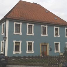
Pfarrhof
3.2 km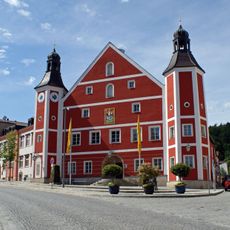
Rathaus
3.5 km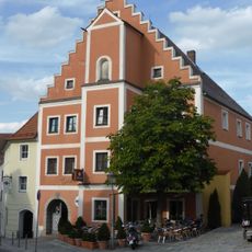
Gasthaus Pfälzerhof
3.5 km
Ehemalige Burgapotheke
3.3 km
Ehemaliger Zweiseithof, ehemaliges Wohnstallhaus
2.3 kmReviews
Visited this place? Tap the stars to rate it and share your experience / photos with the community! Try now! You can cancel it anytime.
Discover hidden gems everywhere you go!
From secret cafés to breathtaking viewpoints, skip the crowded tourist spots and find places that match your style. Our app makes it easy with voice search, smart filtering, route optimization, and insider tips from travelers worldwide. Download now for the complete mobile experience.

A unique approach to discovering new places❞
— Le Figaro
All the places worth exploring❞
— France Info
A tailor-made excursion in just a few clicks❞
— 20 Minutes