
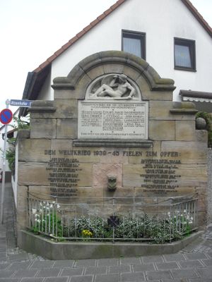
Kriegerdenkmal, kriegerdenkmal für 1914/18 und 1939/45, Sandsteinaufbau mit halbrundem Giebel und Relief eines gefallenen Kriegers, davor Eisengeländer, 1923
Location: Fürth
Address: Atzenhofer Straße
GPS coordinates: 49.50600,10.95350
Latest update: March 4, 2025 03:36
Zenn
2.2 km
Steinkreuz
2 km
Christuskirche
1.8 km
Friedhof Burgfarrnbach
2.5 km
Zenntal/Zennwald
2.3 km
Talzug Heidestraße
1.3 km
Rednitz-, Pegnitz- und Regnitztalsystem
1.8 km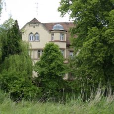
Villa
2.5 km
Gasthaus Rotes Ross
1.7 km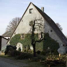
Romminggasse 9
1.6 km
Wohnhaus
1.7 km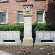
Kriegerdenkmal
1.8 km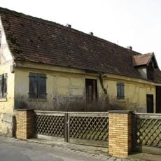
Romminggasse 17a
1.6 km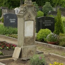
Friedhof Vach
2.2 km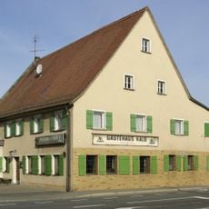
Gästehaus Kalb
1.7 km
Wohnstallhaus
1.7 km
Atzenhofer Straße 48
36 m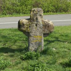
Steinkreuz
2.3 km
Flughafen Nürnberg-Fürth
1.3 km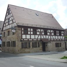
Ehemaliges Bauernhaus, jetzt Gasthaus
1.8 km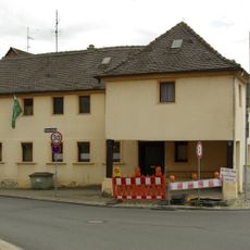
Brückenstraße 2 (Fürth)
2.5 km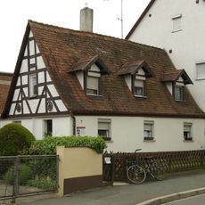
Rotdornstraße 7
2.4 km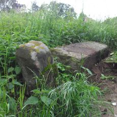
Grenzstein
1.7 km
Siebzehn Eichen
2 km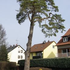
Stadelner Kiefer
2 km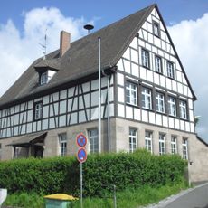
Schulhaus
1.8 km
Normalflugzeughalle
1.2 km
Wohnstallhaus
1.7 kmReviews
Visited this place? Tap the stars to rate it and share your experience / photos with the community! Try now! You can cancel it anytime.
Discover hidden gems everywhere you go!
From secret cafés to breathtaking viewpoints, skip the crowded tourist spots and find places that match your style. Our app makes it easy with voice search, smart filtering, route optimization, and insider tips from travelers worldwide. Download now for the complete mobile experience.

A unique approach to discovering new places❞
— Le Figaro
All the places worth exploring❞
— France Info
A tailor-made excursion in just a few clicks❞
— 20 Minutes