
Sog. Blasnkreuz, Gusseisen auf Steinsockel, Ende 19. Jahrhundert; am alten Waldweg nach Luhe
Location: Pirk
Address: am alten Waldweg nach Luhe
GPS coordinates: 49.60358,12.17774
Latest update: March 9, 2025 20:48
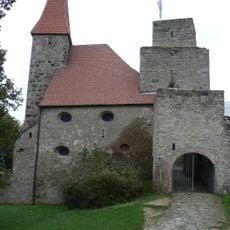
Burgruine Leuchtenberg
5.7 km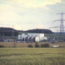
GKK Etzenricht
5.4 km
St. Bartholomäus
3.9 km
Mariä Mutterschaft
3.9 km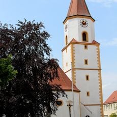
St. Martin
3.2 km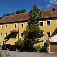
Neues Schloss
3.6 km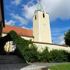
St. Ulrich
4.5 km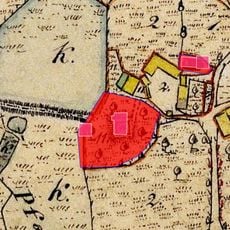
Schlösschen
2.6 km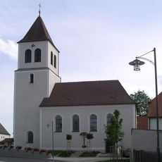
St. Jakobus (Schirmitz)
5.2 km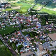
Burgstall Keckenburg
3.9 km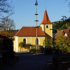
St. Barbara
4 km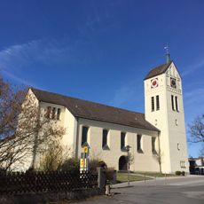
St. Michael
3.8 km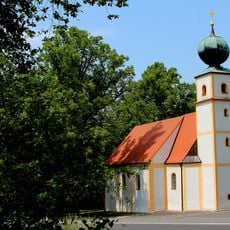
Katholische Wallfahrtskirche St. Nikolaus auf dem Koppelberg
2.9 km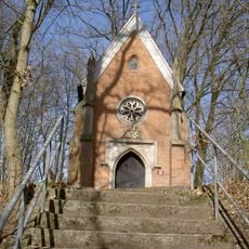
Gruftkapelle
3.9 km
Hammerschloss
3 km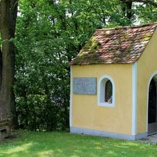
Einsiedelkapelle
2.9 km
Feldkapelle
5.3 km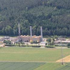
Rothenstadt compressor station
4.4 km
Katholischer Pfarrhof
4.5 km
Gutshof
3.9 km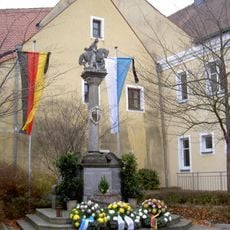
Kriegerdenkmal
3.2 km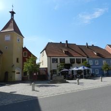
Hußturm
3.1 km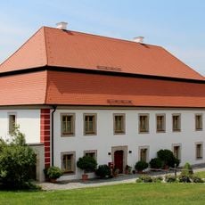
Ehemaliger katholischer Pfarrhof
3.2 km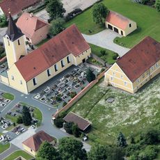
Altes Schulhaus
4.5 km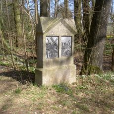
Kreuzweg zur Gruftkapelle
4 km
Hofmarkschloss
3.8 km
Ehemaliges Rathaus
3.1 km
Gasthof
3.1 kmReviews
Visited this place? Tap the stars to rate it and share your experience / photos with the community! Try now! You can cancel it anytime.
Discover hidden gems everywhere you go!
From secret cafés to breathtaking viewpoints, skip the crowded tourist spots and find places that match your style. Our app makes it easy with voice search, smart filtering, route optimization, and insider tips from travelers worldwide. Download now for the complete mobile experience.

A unique approach to discovering new places❞
— Le Figaro
All the places worth exploring❞
— France Info
A tailor-made excursion in just a few clicks❞
— 20 Minutes