
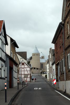
Impekoven, human settlement in Germany
Location: Alfter
Elevation above the sea: 120 m
GPS coordinates: 50.71389,7.01639
Latest update: March 6, 2025 21:45

Hardthöhe
2.5 km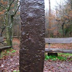
Eiserner Mann
4 km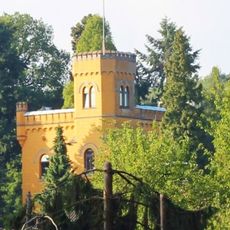
Burg Medinghoven
1.3 km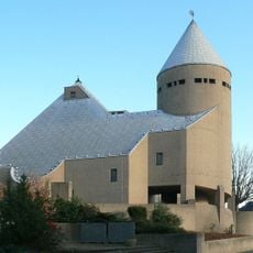
St. Mariä Heimsuchung
95 m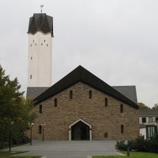
St. Katharina
4.5 km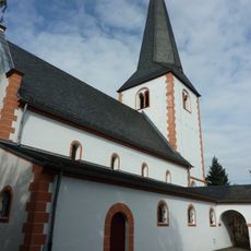
St. Laurentius
2.1 km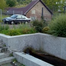
Kurfürstliche Brunnenanlage
2.2 km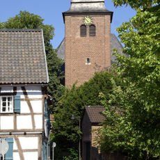
St. Matthäus
2.8 km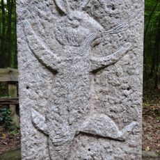
Siebenschuss
4.3 km
Tongrube Witterschlick
3.3 km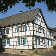
Hertersplatz 13
2.7 km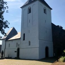
Pfarrkirche St. Jakobus
1.3 km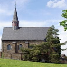
St. Mariä Himmelfahrt (Oedekoven)
809 m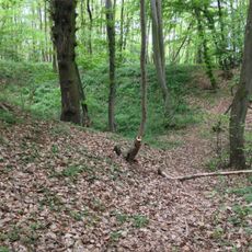
Abschnittsbefestigung Witterschlick
2.1 km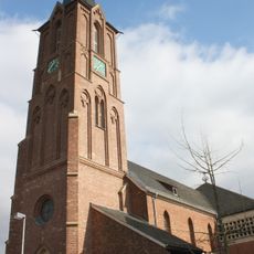
St. Lambertus (Witterschlick)
2.5 km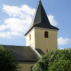
Evangelische Versöhnungskirche Buschhoven
4.6 km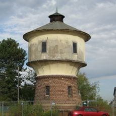
Wasserturm (Gielsdorf)
983 m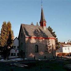
St. Mariä Vermählung
744 m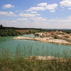
Kiesgrube Flerzheim
5.6 km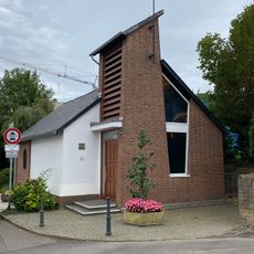
Mutter-Gottes-Kapelle
1.6 km
Judas-Thaddäus-Kapelle
1.5 km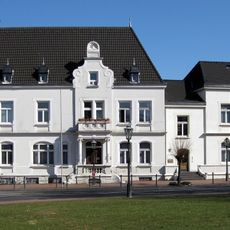
Rathaus Hardtberg
2.5 km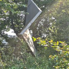
Entfalteter Kubus
2.9 km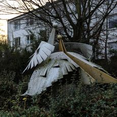
Vogelnest
2.6 km
Auffliegender Vogelschwarm
2.5 km
St. Matthiaskreuz
2.6 km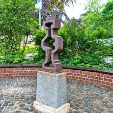
Balustrade in Eisenguss (Bonn)
2.4 km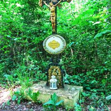
St. Hubertuskreuz
3.7 kmReviews
Visited this place? Tap the stars to rate it and share your experience / photos with the community! Try now! You can cancel it anytime.
Discover hidden gems everywhere you go!
From secret cafés to breathtaking viewpoints, skip the crowded tourist spots and find places that match your style. Our app makes it easy with voice search, smart filtering, route optimization, and insider tips from travelers worldwide. Download now for the complete mobile experience.

A unique approach to discovering new places❞
— Le Figaro
All the places worth exploring❞
— France Info
A tailor-made excursion in just a few clicks❞
— 20 Minutes