
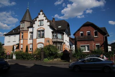
Lollar - Marburger Straße 41, Cultural heritage monument in Lollar, Hesse, Germany
Location: Lollar
Address: Marburger Straße
GPS coordinates: 50.65122,8.70693
Latest update: March 5, 2025 17:45
Staufenberg Castle
2.1 km
Lollar station
561 m
Evangelische Kirche Kirchberg
1.3 km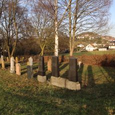
Jüdischer Friedhof Lollar
1.1 km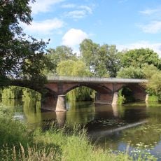
Lahnbrücke
1.2 km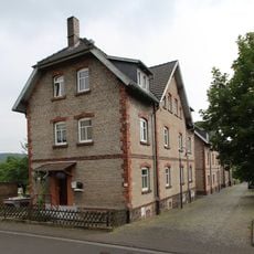
Gesamtanlage Kolonie
591 m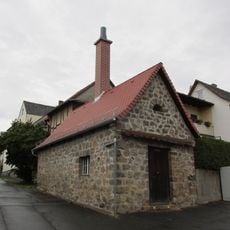
Backhaus
2.2 km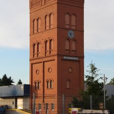
Gichtturm der Firma Buderus
159 m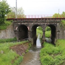
Eisenbahnbrücke
908 m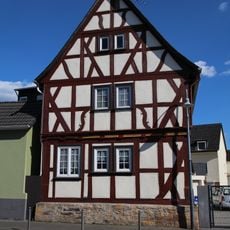
Lollar - Marburger Straße 5
318 m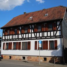
Lollar - Marburger Straße 11
289 m
Lollar - Marburger Straße 21
204 m
Staufenberg
1.9 km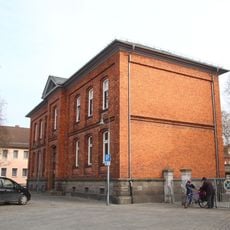
Lollar - Schur 2
224 m
Ehem. Rathaus und Scheune
2 km
Gießener Straße 36
2.2 km
Untergasse 11, Untergasse 13
1.1 km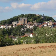
Gesamtanlage Staufenberg
2 km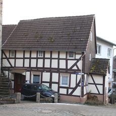
Hintergasse 2
2 km
Obergasse 3
2 km
Lollar - Marburger Straße 45
19 m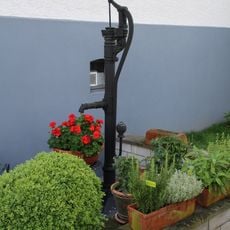
Pumpe
1.1 km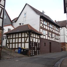
Spritzenhaus
2 km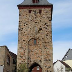
Torturm
2 km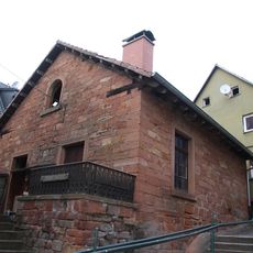
Backhaus
2 km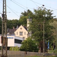
Justus-Kilian-Straße 1
159 m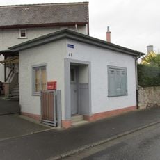
Gießener Straße 62
2.2 km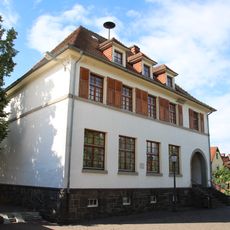
Ehem. Schule
1.2 kmReviews
Visited this place? Tap the stars to rate it and share your experience / photos with the community! Try now! You can cancel it anytime.
Discover hidden gems everywhere you go!
From secret cafés to breathtaking viewpoints, skip the crowded tourist spots and find places that match your style. Our app makes it easy with voice search, smart filtering, route optimization, and insider tips from travelers worldwide. Download now for the complete mobile experience.

A unique approach to discovering new places❞
— Le Figaro
All the places worth exploring❞
— France Info
A tailor-made excursion in just a few clicks❞
— 20 Minutes