
Wahler Berg, Binnendüne in Dormagen, Nordrhein-Westfalen
Location: Dormagen
Elevation above the sea: 49.5 m
GPS coordinates: 51.12270,6.81377
Latest update: May 30, 2025 14:26
Haus Bürgel
4.2 km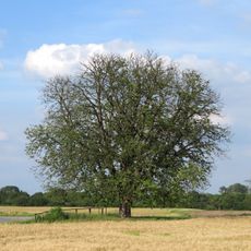
Himmelgeister Kastanie
3.8 km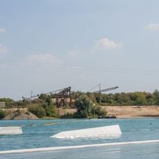
Straberg-Nievenheimer See
3.2 km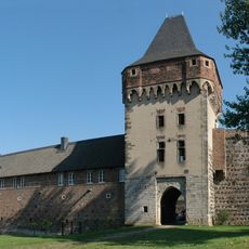
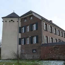
Burg Friedestrom
2.6 km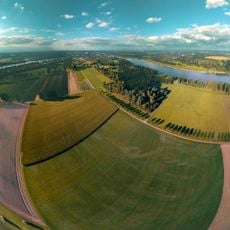
Zonser Grind
4.1 km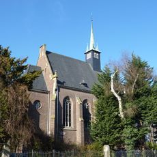
Kapelle Raphaelshaus Dormagen
2.2 km
Christuskirche (Dormagen)
3.1 km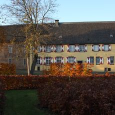
Kreismuseum Zons
2.6 km
Himmelgeister Rheinbogen
3.3 km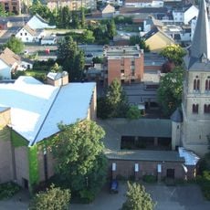
St. Michael (Dormagen)
4.1 km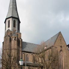
St. Martinus
2.5 km
Holthausen waterworks
4.4 km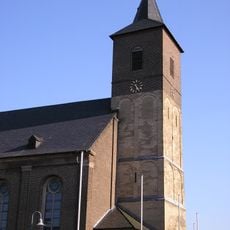
St. Pankratius
3.1 km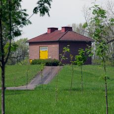
Auf dem Grind waterworks
4.4 km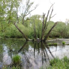
Urdenbacher Kämpen
4.2 km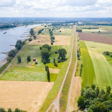
Rheinaue Zons-Rheinfeld und Altrheinschlinge Zons
3.7 km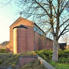
St. Gabriel (Delrath)
2 km
Haus Schulz
4.5 km
Am Alten Rhein 8
4.3 km
St Luke's Church Stürzelberg
1.7 km
Evangelisches Gemeindezentrum Arche (Dormagen-Rheinfeld)
3.9 km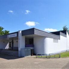
Church of Peace (Zons)
2.1 km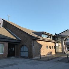
Kreuzkirche
2.5 km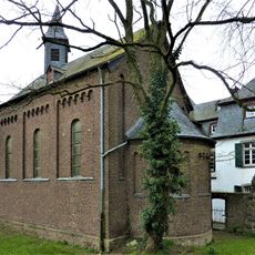
Holy Trinity Chapel
2.6 km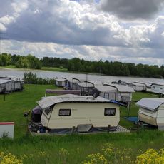
Camping und Sportbootclub Itterdamm e.V.
3.8 km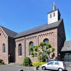
St. Aloysius
2.1 km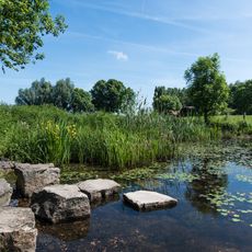
LSG-Urdenbacher Altrhein <Raumeinheit D>
4.1 km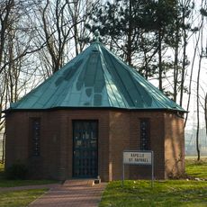
Autobahnkapelle Nievenheim
1.1 kmReviews
Visited this place? Tap the stars to rate it and share your experience / photos with the community! Try now! You can cancel it anytime.
Discover hidden gems everywhere you go!
From secret cafés to breathtaking viewpoints, skip the crowded tourist spots and find places that match your style. Our app makes it easy with voice search, smart filtering, route optimization, and insider tips from travelers worldwide. Download now for the complete mobile experience.

A unique approach to discovering new places❞
— Le Figaro
All the places worth exploring❞
— France Info
A tailor-made excursion in just a few clicks❞
— 20 Minutes