Dormagen, Administrative district in Rhine District Neuss, Germany
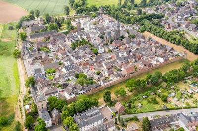
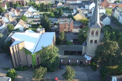
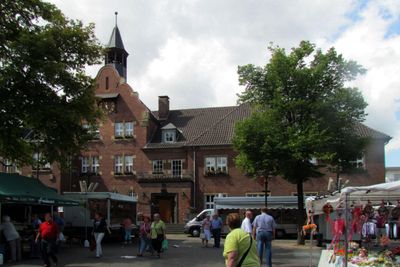
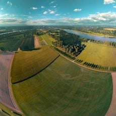
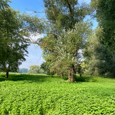
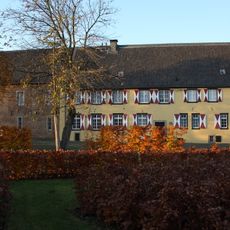
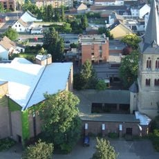
Dormagen forms an administrative district on the western Rhine bank between Düsseldorf and Cologne in North Rhine-Westphalia. The municipality extends across several neighborhoods, including the historic old town and modern residential areas with parks along the river.
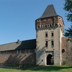
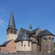
The settlement began in 50 AD under Roman rule as Durnomagus and developed into a military outpost. During the Middle Ages the place grew into a trading center before 20th century industrialization shaped the modern townscape.
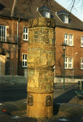
The Roman roots show through the name itself, derived from Latin Durnomagus meaning marketplace by the Doorn stream. Today museums and archaeological sites preserve visible traces of this early settlement along the Rhine.
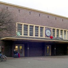
Several railway stations connect the municipality with Düsseldorf and Cologne via the left Rhine railway line. Motorway 57 and regional roads make reaching neighboring municipalities and industrial areas straightforward.
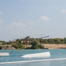
A large chemical park has shaped the economy of the municipality for decades and attracts skilled workers from across the Rhineland. The industrial facilities are illuminated at night and visible from far along the Rhine.
The community of curious travelers
AroundUs brings together thousands of curated places, local tips, and hidden gems, enriched daily by 60,000 contributors worldwide.