Wahler Berg, protected area in the European Union defined by the habitats directive in Nordrhein-Westfalen, Germany
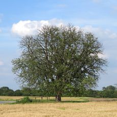
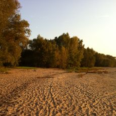
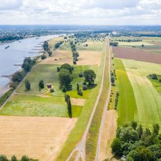
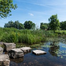
Wahler Berg is a nature reserve in Dormagen with open sand dunes and adjoining heath areas covering about 9 hectares. It features pines and oaks alongside stretches where silver grass, sand lily, and other pioneer plants adapted to dry, sandy soil grow freely.
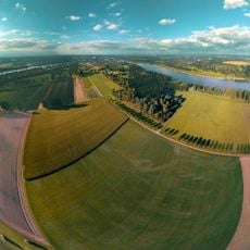
Around 13,000 years ago, after the last ice age, sand dunes formed here as wind and water carried material from the Rhine river basin. The site represents what remains of expansive heathlands that once covered the region and has been protected since the 1980s.
The area is known locally as a place for observing nature and spending time outdoors, with its name tied to its geographic location. Local farmers and conservation groups work together to maintain the landscape, using sheep grazing to prevent the dunes from becoming overgrown and to keep the open character that makes the site special.
The area is accessible through well-maintained paths that let you walk close to the dunes and observe lizards, beetles, and other wildlife. Information boards explain the site's importance for nature conservation and describe the management efforts that keep it healthy.
The site is home to rare butterfly species found nowhere else in Europe, whose caterpillars feed on cypress spurge, a plant that grows almost nowhere else in the region. This specialized relationship between caterpillar and plant makes Wahler Berg an essential refuge for these insects.
The community of curious travelers
AroundUs brings together thousands of curated places, local tips, and hidden gems, enriched daily by 60,000 contributors worldwide.