
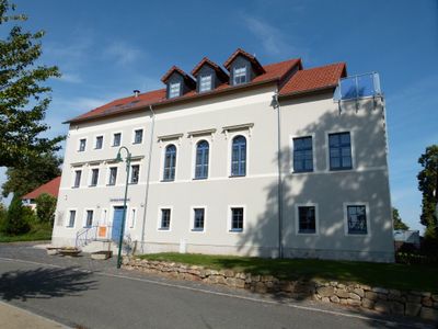
Untere Dorfstraße 6, school building in Hartau
Location: Zittau
Inception: 1889
Address: Untere Dorfstraße 6
GPS coordinates: 50.86291,14.81801
Latest update: March 3, 2025 16:23
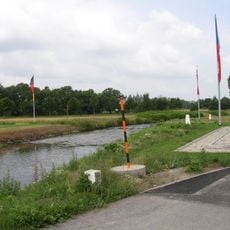
Czech Republic–Germany–Poland tripoint
952 m
Dům čp. 109
2 km
Dům čp. 110
2 km
Obere Dorfstraße 44
978 m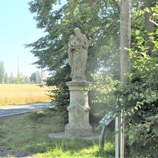
Socha svatého Josefa v Žitavské ulici v Hrádku nad Nisou
1.6 km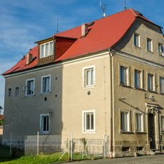
Dům čp. 86
2 km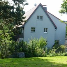
Obere Dorfstraße 31
1 km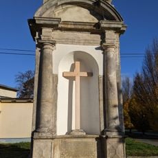
Grösselova kaple
1.8 km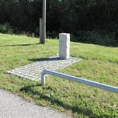
Pomník padlému Rudolfu Zárybnickému ve Větrné ulici v Hrádku nad Nisou
1.8 km
Dům čp. 93
1.9 km
Dub ZŠ a MŠ Loučné
1.7 km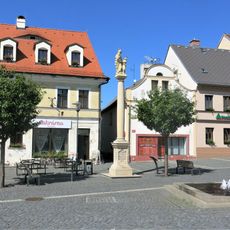
Column of Saint Anne
2 km
Dům čp. 85
2 km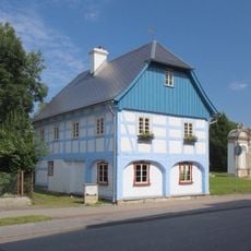
Podstávkový dům Hrádek nad Nisou 215
1.8 km
Röhrhäusel Hartau
1.3 km
Untere Dorfstraße 3
36 m
Obere Dorfstraße 8
375 m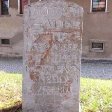
Fishing border stone
105 m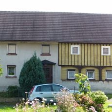
Obere Dorfstraße 27
945 m
Olbersdorfer Straße 32
1.8 km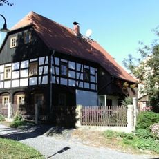
Untere Dorfstraße 15
98 m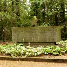
Sowjetisches Ehrenmal
611 m
Plastika svaté Zdislavy u domu Žitavská 670 v Hrádku nad Nisou
1.8 km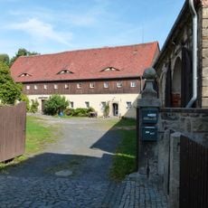
Untere Dorfstraße 13
110 m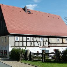
Untere Dorfstraße 39
345 m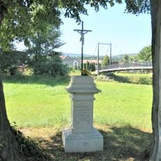
Kříž u cesty mezi ulicemi Okružní a U Lávky v Hrádku nad Nisou
1.8 km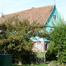
Obere Dorfstraße 40
923 m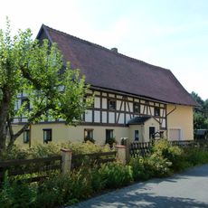
Obere Dorfstraße 11
597 mReviews
Visited this place? Tap the stars to rate it and share your experience / photos with the community! Try now! You can cancel it anytime.
Discover hidden gems everywhere you go!
From secret cafés to breathtaking viewpoints, skip the crowded tourist spots and find places that match your style. Our app makes it easy with voice search, smart filtering, route optimization, and insider tips from travelers worldwide. Download now for the complete mobile experience.

A unique approach to discovering new places❞
— Le Figaro
All the places worth exploring❞
— France Info
A tailor-made excursion in just a few clicks❞
— 20 Minutes