
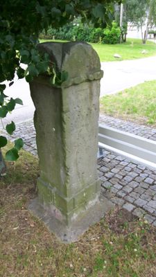
Wegestein Fördergersdorf, verkehrsgeschichtlich von Bedeutung
Location: Tharandt
Inception: 1847
Address: Fördergersdorf
GPS coordinates: 50.99665,13.54208
Latest update: March 20, 2025 06:36
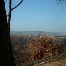
Landberg
2.2 km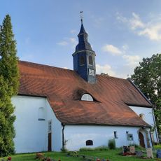
Kirche Fördergersdorf
201 m
Burg Pohrsdorf
1 km
Spritzenhaus Pohrsdorf
947 m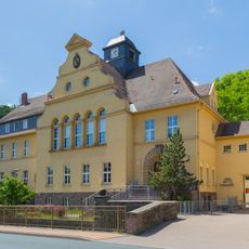
Tharandt Elementary School
2.6 km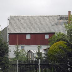
Wohnstallhaus Buchenweg 7
2.1 km
Brendelhof: Portal, Sandsteintrog und zwei Seitengebäude Kirchweg 2
1.1 km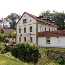
Klippermühle Tharandt
2.2 km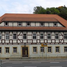
Amtshof Tharandt
2.6 km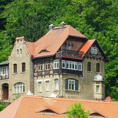
Villa 1 Mountain Street
2.5 km
Talmühlenstraße 2
2.6 km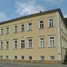
Wohnhaus Roßmäßlerstraße 44
2.7 km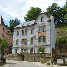
Wohnhaus Amtsgasse 2
2.7 km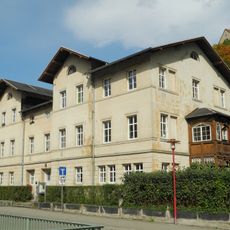
Altes Pfarrhaus Roßmäßlerstraße 40
2.8 km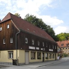
Wohnhaus Roßmäßlerstraße 33
2.7 km
Wohnhaus in offener Bebauung, mit Nebengebäude Roßmäßlerstraße 46
2.7 km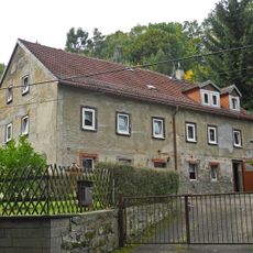
Wohnhaus Freiberger Straße 24
2.6 km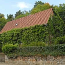
Wohnhaus Freiberger Straße 10
2.7 km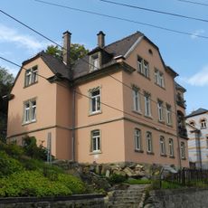
Wohnhaus Amtsgasse 4
2.7 km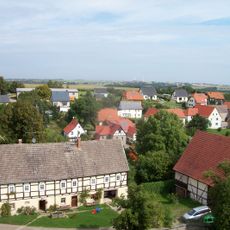
Pfarrhof Pfarrgasse 2
218 m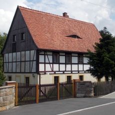
Wohnstallhaus Landbergstraße 12
1.3 km
Spritzenhaus mit intakter Spritze Pohrsdorf
943 m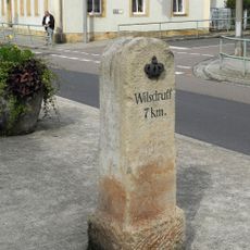
Kgl.-sächs. Postmeilenstein Tharandt Roßmmäßlerstraße
2.7 km
Schulgebäude mit drei Baukörpern Friedrich-Schiller-Straße 21
1.4 km
House 35/37 Roßmäßler Street
2.7 km
Wohnhaus Landbergstraße 16
1.4 km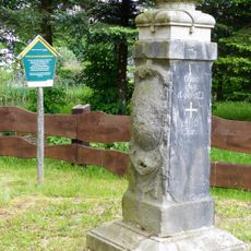
Grenzstein Mühlweg 2 (gegenüber)
1.4 km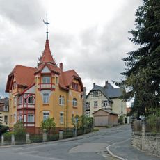
Villa Am Hartheberg 11
1.7 kmReviews
Visited this place? Tap the stars to rate it and share your experience / photos with the community! Try now! You can cancel it anytime.
Discover hidden gems everywhere you go!
From secret cafés to breathtaking viewpoints, skip the crowded tourist spots and find places that match your style. Our app makes it easy with voice search, smart filtering, route optimization, and insider tips from travelers worldwide. Download now for the complete mobile experience.

A unique approach to discovering new places❞
— Le Figaro
All the places worth exploring❞
— France Info
A tailor-made excursion in just a few clicks❞
— 20 Minutes