
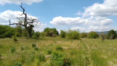
Ingelheimer Dünen und Sande, nature reserve in Rheinland-Pfalz, Germany
Location: Ingelheim am Rhein
Location: Gau-Algesheim
Inception: June 30, 2003
GPS coordinates: 49.98510,8.03830
Latest update: March 9, 2025 10:12
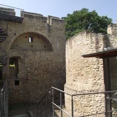
Imperial Palace Ingelheim
2.6 km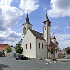
Saalkirche Ingelheim
2.6 km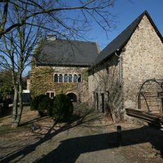
Graues Haus
2.6 km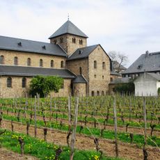
Ägidiuskirche Mittelheim
2.4 km
St. Remigius
2.2 km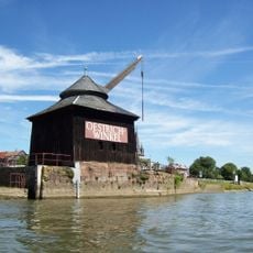
Oestricher Kran
2.1 km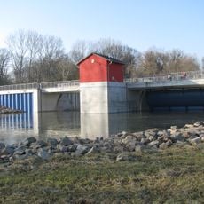
Polder Ingelheim
1.7 km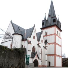
St. Martin
2.3 km
Weingut Josef Spreitzer
2.3 km
Weingut J. Neus
2.4 km
Evangelische Kirche (Mittelheim)
2.3 km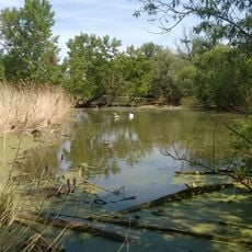
Sandlache
1.6 km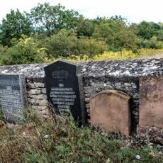
Denkmalzone Jüdischer Friedhof
2.5 km
Nordausläufer Westerberg
2.5 km
Jewish cemetery, Nieder-Ingelheim
2.6 km
Rinderbacher Tor
2.6 km
Winkeler Aue
2.3 km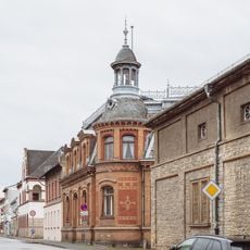
Bahnhofstraße 98
2.5 km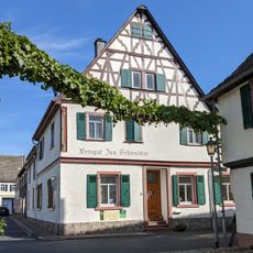
Marktstraße 15
2.4 km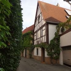
Haus Kranenstraße 21
2.3 km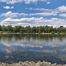
Rheinniederung Mainz-Bingen
2.4 km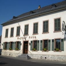
Gasthof Kühn
2.5 km
Haus Rheinstraße 1
2.2 km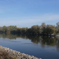
Winkeler Aue
2.3 km
Rheinaue Bingen-Ingelheim
2.2 km
Villa Stosch
2.3 km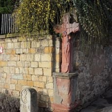
Kreuz, Grenzstein
2.3 km
Ehem. Steinheimer Hof
2.3 kmReviews
Visited this place? Tap the stars to rate it and share your experience / photos with the community! Try now! You can cancel it anytime.
Discover hidden gems everywhere you go!
From secret cafés to breathtaking viewpoints, skip the crowded tourist spots and find places that match your style. Our app makes it easy with voice search, smart filtering, route optimization, and insider tips from travelers worldwide. Download now for the complete mobile experience.

A unique approach to discovering new places❞
— Le Figaro
All the places worth exploring❞
— France Info
A tailor-made excursion in just a few clicks❞
— 20 Minutes