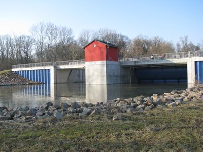
Polder Ingelheim, Flood management polder in Ingelheim am Rhein, Germany
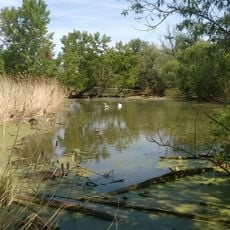
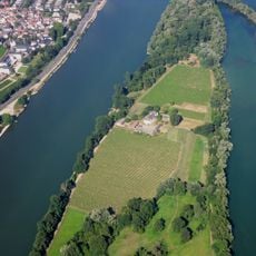
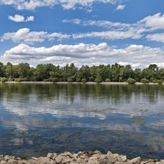
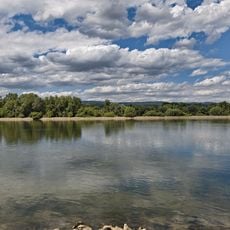
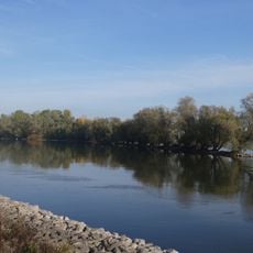
Polder Ingelheim is a flood management zone along the Upper Rhine that covers about 162 hectares of farmland and functions as a retention basin when rivers rise. Water control operates through a specialized weir system with two large openings that receive or release water as conditions change.
The polder was completed in 2006 and had its first real test in January 2011 when the Rhine rose. Since then it has worked as designed, showing how modern systems reduce flood risks for the region.
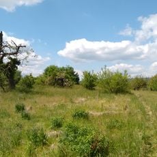
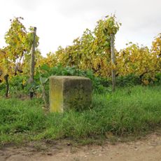
The area shows how farming and flood protection work together, with local fields maintained in traditional ways while serving a larger environmental purpose. You can see how the land shifts between active cultivation and its role as a safety zone.
The site is easily accessible from several vantage points and can be observed especially well if you use the riverside paths. The best time to visit is during warmer months when the trails are dry and conditions are pleasant.
The area is only flooded during rare high water events that occur about every 5 to 20 years, meaning it looks like ordinary farmland most of the time. This long period of calm operation makes its importance easy to overlook on a casual visit.
The community of curious travelers
AroundUs brings together thousands of curated places, local tips, and hidden gems, enriched daily by 60,000 contributors worldwide.