
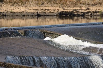
Untere Nahe, nature reserve in Rheinland-Pfalz, Germany
Location: Münster-Sarmsheim
Location: Bingen am Rhein
Location: Laubenheim
Location: Grolsheim
Location: Langenlonsheim
Location: Gensingen
Location: Bretzenheim
Location: Bad Kreuznach
Inception: October 17, 1983
GPS coordinates: 49.90650,7.90970
Latest update: March 12, 2025 13:25
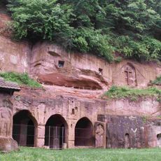
Eremitage
3.4 km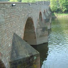
Drususbrücke
6.1 km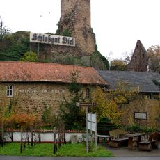
Burg Layen
4.1 km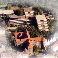
Stefan-George-Gymnasium Bingen
6.5 km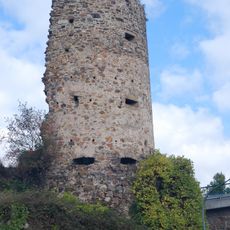
Trutzbingen
5 km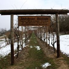
Jakobsberg
5.6 km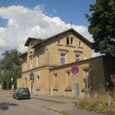
Gensingen-Horrweiler station
2.2 km
Jakobsberg Priory
6.4 km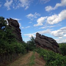
Trollfelsen
3.4 km
Zotzenheimer Horn
6.2 km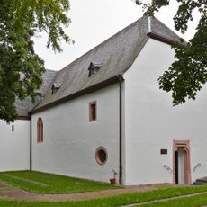
St. Gordianus und Epimachus (Bingen)
3.4 km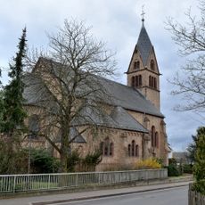
St. Gordianus (Planig)
4.8 km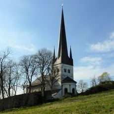
Martinskirche (Waldlaubersheim)
6 km
Eisweindenkmal
4.2 km
Evangelische Pfarrkirche Langenlonsheim
1.4 km
St. Johannes der Täufer
1.4 km
Synagoge Waldhilbersheim
5.2 km
Jüdischer Friedhof Bretzenheim
4.8 km
Hinter der Mortkaute
3.5 km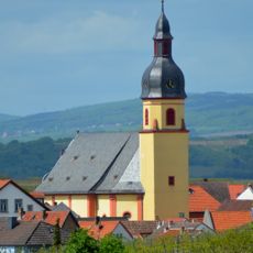
St. Peter und Paul
6 km
Jüdischer Friedhof (Waldhilbersheim)
5.4 km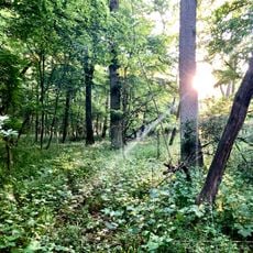
Horn bei Zotzenheim
6.2 km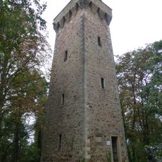
Kaiser-Friedrich-Turm
5.9 km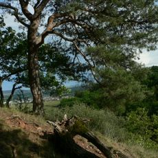
Saukopf und Fichtekopf
2.2 km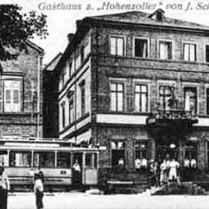
Gasthaus „Zum Hohenzollern“
1.4 km
Saints Gordianus and Epimachus Church (Bingen-Dietersheim)
3.5 km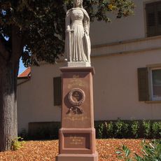
Kriegerdenkmal 1870-71
5.1 km
Feldbahn-Museum Guldental
4.8 kmVisited this place? Tap the stars to rate it and share your experience / photos with the community! Try now! You can cancel it anytime.
Discover hidden gems everywhere you go!
From secret cafés to breathtaking viewpoints, skip the crowded tourist spots and find places that match your style. Our app makes it easy with voice search, smart filtering, route optimization, and insider tips from travelers worldwide. Download now for the complete mobile experience.

A unique approach to discovering new places❞
— Le Figaro
All the places worth exploring❞
— France Info
A tailor-made excursion in just a few clicks❞
— 20 Minutes