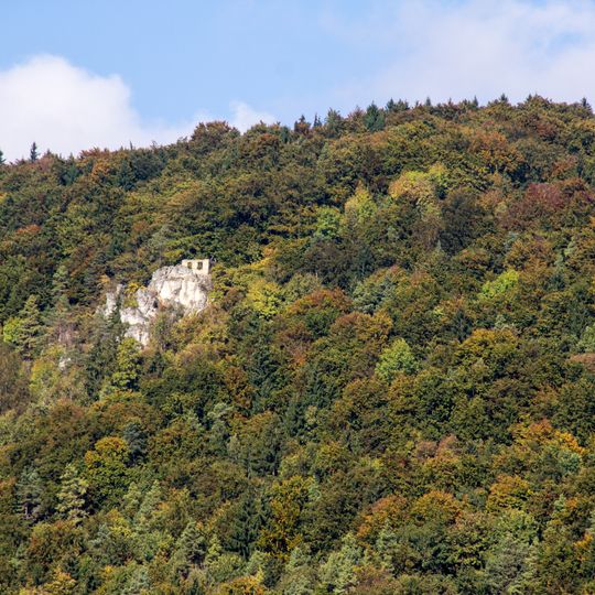
Wasserbergfelsen, Rock in Germany
Location: Happurg
Accessibility: Wheelchair inaccessible
GPS coordinates: 49.47768,11.51450
Latest update: October 24, 2025 17:19
Happurger See
4.3 km
Houbirg
2.3 km
Hohler Fels
1.8 km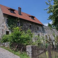
Burgruine in Happurg
2.1 km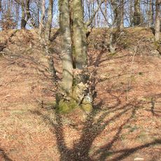
Burgstall Altes Haus (Pommelsbrunn)
2 km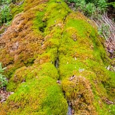
Steinerne Rinne bei Thalheim
1 km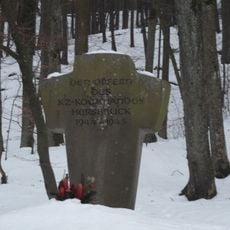
KZ-Mahnmal bei Förrenbach
2.1 km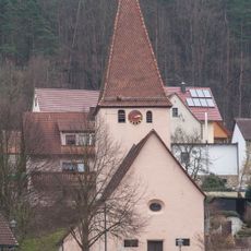
Evangelisch-lutherisch Filialkirche in Happurg
2.5 km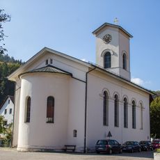
St. Johannes
995 m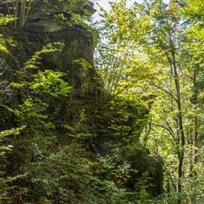
Teufelskanzel bei Mittelburg
928 m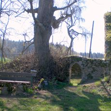
Ruine der Kapelle St. Rochus und St. Leonhard in Pommelsbrunn
654 m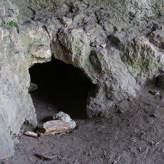
Cultural heritage D-5-6534-0014 Happurg
1.8 km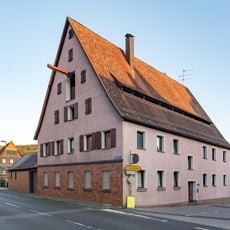
Ehem. Wohnstallhaus in Pommelsbrunn
2.8 km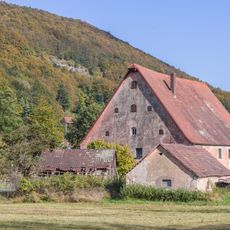
Mühle in Pommelsbrunn
2.6 km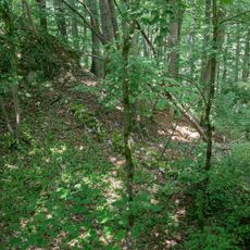
Cultural heritage D-5-6534-0025 in Happurg
2.1 km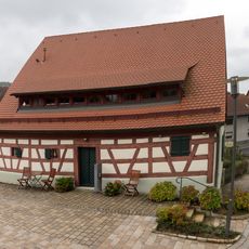
Ehem. Badhaus in Pommelsbrunn
2.7 km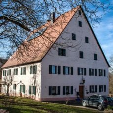
Bauernhof, Wohnstallhaus in Pommelsbrunn
2.1 km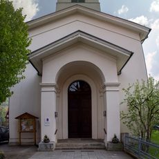
Cultural heritage D-5-6535-0119 in Happurg
994 m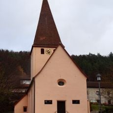
Cultural heritage D-5-6534-0171 in Happurg
2.5 km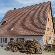
Wohnstallhaus in Happurg
844 m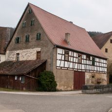
Nebengebäude in Happurg
2.6 km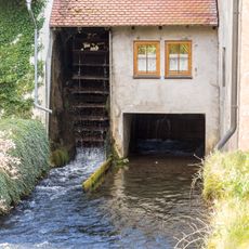
Mühlgraben Arzloher Straße 7 (D-5-74-147-1#1)
2.6 km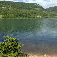
Stausee
2.5 km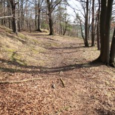
Ringwallanlage auf der Mühlkoppe
2 km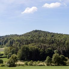
Dürrberg bei See
2 km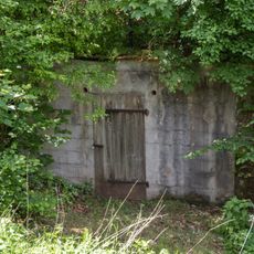
Felsenkeller Seer Straße
749 m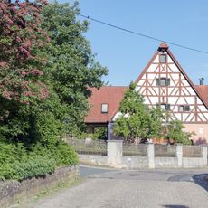
Sandweg 14
1.1 km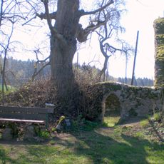
Mittlelalterliche Befunde in Pommelsbrunn
654 mReviews
Visited this place? Tap the stars to rate it and share your experience / photos with the community! Try now! You can cancel it anytime.
Discover hidden gems everywhere you go!
From secret cafés to breathtaking viewpoints, skip the crowded tourist spots and find places that match your style. Our app makes it easy with voice search, smart filtering, route optimization, and insider tips from travelers worldwide. Download now for the complete mobile experience.

A unique approach to discovering new places❞
— Le Figaro
All the places worth exploring❞
— France Info
A tailor-made excursion in just a few clicks❞
— 20 Minutes
