
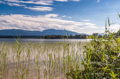
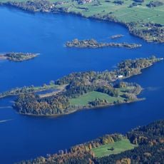
Westlicher Staffelsee mit angrenzenden Mooren, nature reserve in Bavaria, Germany
Location: Uffing am Staffelsee
Location: Seehausen am Staffelsee
Location: Bad Kohlgrub
Inception: 1999
GPS coordinates: 47.69797,11.14268
Latest update: March 5, 2025 19:11
Wörth
2.4 km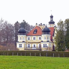
Schloss Rieden
2.7 km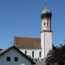
Agatha of Sicily Church (Uffing am Staffelsee)
2 km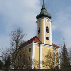
St. Michael
3.3 km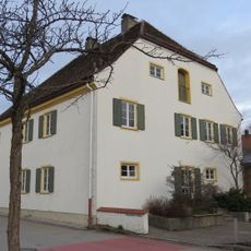
Pfarrhaus
3.4 km
Cultural heritage D-1-8232-0031 in Eglfing
3.6 km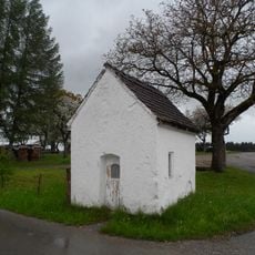
Kapelle
3.9 km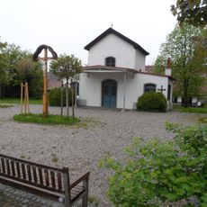
Friedhofskapelle
2 km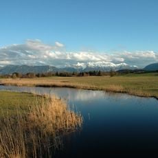
Schutz des Staffelseegebietes
956 m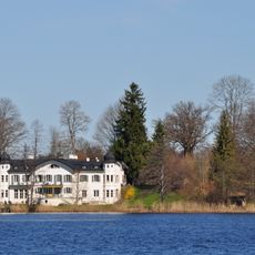
Gutshof
2.4 km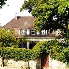
Landhaus
4.2 km
Staffelseemuseum
3.4 km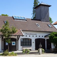
Heimatmuseum in Uffing
2.1 km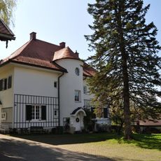
Pfarrhaus (Uffing)
2 km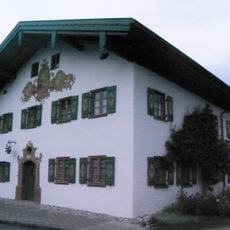
Ehemaliges Bauernhaus
3.3 km
Ökonomiegebäude Alter Wirt
2.1 km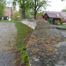
Friedhofsmauer
2 km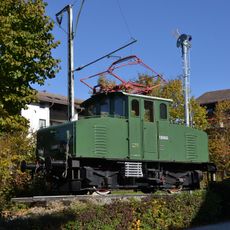
Lokomotive
4.2 km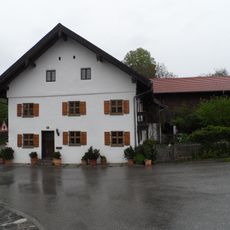
Kleinbauernhaus
1.9 km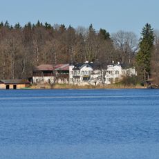
Nebengebäude Wörth 1 in Seehausen am Staffelsee
2.3 km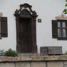
Türe
2.1 km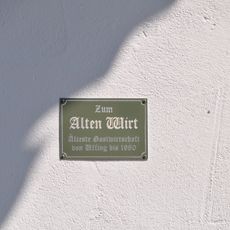
Alter Wirt
2.1 km
Wohnhaus
3.2 km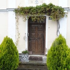
Türe
2.2 km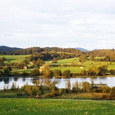
Moränenlandschaft zwischen Staffelsee und Baiersoien
2.7 km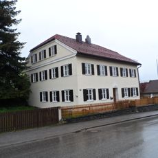
Wohnhaus
2.1 km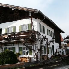
Dorfstraße 6
3.2 km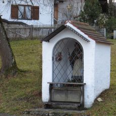
Bildstock
3.1 kmReviews
Visited this place? Tap the stars to rate it and share your experience / photos with the community! Try now! You can cancel it anytime.
Discover hidden gems everywhere you go!
From secret cafés to breathtaking viewpoints, skip the crowded tourist spots and find places that match your style. Our app makes it easy with voice search, smart filtering, route optimization, and insider tips from travelers worldwide. Download now for the complete mobile experience.

A unique approach to discovering new places❞
— Le Figaro
All the places worth exploring❞
— France Info
A tailor-made excursion in just a few clicks❞
— 20 Minutes