
Feuchtgebietskomplexe nördlich Isny, protected area in the European Union defined by the habitats directive in Baden-Württemberg, Germany
Location: Landkreis Ravensburg
Inception: January 1, 2005
GPS coordinates: 47.75147,10.03543
Latest update: March 8, 2025 13:46

Schloss Rimpach
2.6 km
St. George's Abbey
6.4 km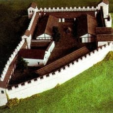
Castra Vemania
6.4 km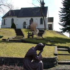
La-Salette-Kapelle
4.9 km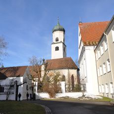
Nikolaikirche
6.4 km
Pfarrkirche St. Georg und Jakobus (Isny)
6.4 km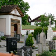
Lourdeskapelle
6.6 km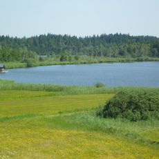
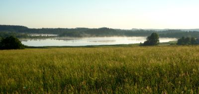
Taufach- und Fetzachmoos mit Urseen
809 m
Mariä Himmelfahrt
5.4 km
Schlosskapelle St. Leonhard (Rimpach)
2.6 km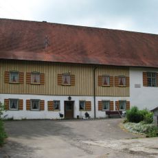
Burg Neideck
4.2 km
Wassertor (Isny)
6.4 km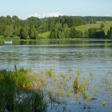
Badsee
4.1 km
Passionsspiele Engerazhofen
4.9 km
Adelegg
6.4 km
Moos im Zeller Wald
3.5 km
Bergkapelle Ellmeney
4 km
Adelegg
6.3 km
Badsee
2.4 km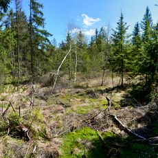
Rimpacher Moos - Weites Ried
2.6 km
Adelegg und zugehöriges tertiäres Hügelvorland
5.1 km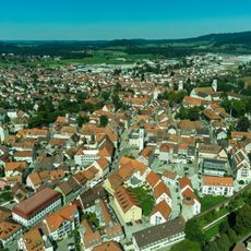
Gesamtanlage Isny im Allgäu
6.6 km
Katholische Kapelle mit Kerkerchristus, sogenannte Jesuskapelle
6.5 km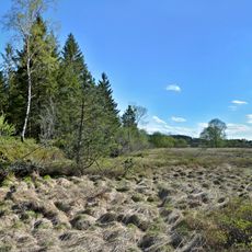
Rengersmoos
4 km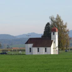
Kapelle St. Johannes und Paulus
5.3 km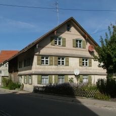
Ehemaliges Mesnerhaus
5.3 km
Wohnteil eines Bauernhauses
6.5 km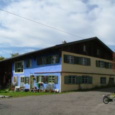
Bauernhaus
6.1 kmReviews
Visited this place? Tap the stars to rate it and share your experience / photos with the community! Try now! You can cancel it anytime.
Discover hidden gems everywhere you go!
From secret cafés to breathtaking viewpoints, skip the crowded tourist spots and find places that match your style. Our app makes it easy with voice search, smart filtering, route optimization, and insider tips from travelers worldwide. Download now for the complete mobile experience.

A unique approach to discovering new places❞
— Le Figaro
All the places worth exploring❞
— France Info
A tailor-made excursion in just a few clicks❞
— 20 Minutes