
Manninghofer Bach, nature reserve in Germany
Location: Erwitte
Inception: 1991
GPS coordinates: 51.60673,8.31134
Latest update: March 28, 2025 10:26
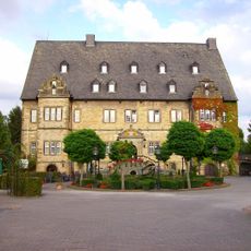
Schloss Erwitte
2.3 km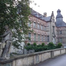
Schloss Overhagen
5.7 km
Schloss Herringhausen
5.9 km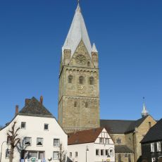
St. Laurentius (Erwitte)
2.1 km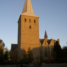
St. Pankratius
5.4 km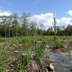
Muckenbruch
5.6 km
Galeriegräber von Schmerlecke
5.4 km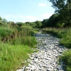
Talsystem der Pöppelsche mit Hoinkhauser Bach
5.8 km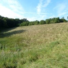
Hochwasserrückhaltebecken Pöppelsche
5.8 km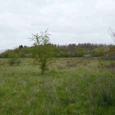
Vogelschutzgebiet Hellwegbörde
2.4 km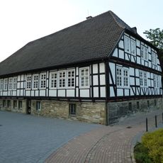
Königshof Erwitte
2.2 km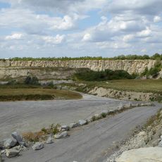
Steinbruch Straken südöstlich Erwitte
4.2 km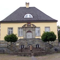
Altes Rathaus Erwitte
2.1 km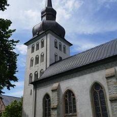
St. Cyriakus
4.5 km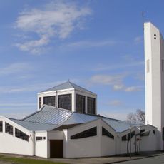
Saint Pius X church
5.9 km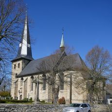
St. Michael
5.9 km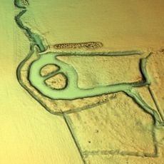
Burg Brockhof
3.3 km
Anröchte Jewish Cemetery
4.8 km
Brockbusch
2.8 km
Gieseler
5.1 km
Großes Holz
6 km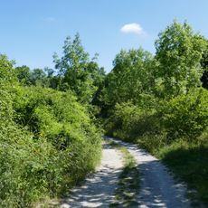
Steinbruch südlich Berge
6.2 km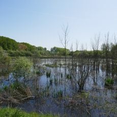
Olle Wiese und Bachsysteme zwischen Erwitte und Stirpe
1.2 km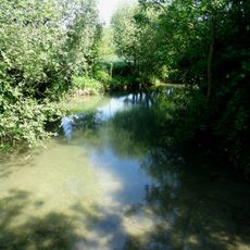
Quellgebiet der Gieseler
6.1 km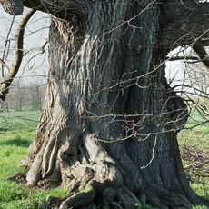
Güller Bach-Lobbenbach
2.5 km
Eichen-Hainbuchenwald nördlich Anröchte
3.5 km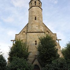
St. Vinzenz
4.1 km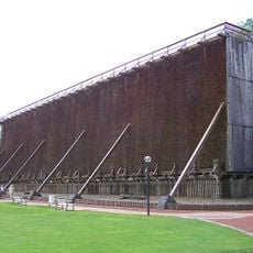
Gradierwerk II Bad Westernkotten
4.4 kmReviews
Visited this place? Tap the stars to rate it and share your experience / photos with the community! Try now! You can cancel it anytime.
Discover hidden gems everywhere you go!
From secret cafés to breathtaking viewpoints, skip the crowded tourist spots and find places that match your style. Our app makes it easy with voice search, smart filtering, route optimization, and insider tips from travelers worldwide. Download now for the complete mobile experience.

A unique approach to discovering new places❞
— Le Figaro
All the places worth exploring❞
— France Info
A tailor-made excursion in just a few clicks❞
— 20 Minutes