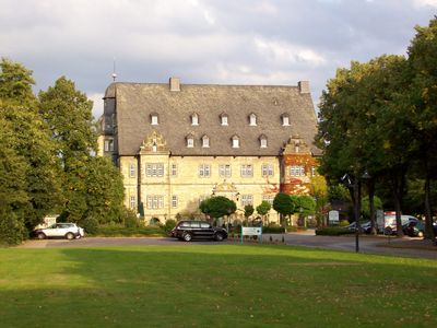
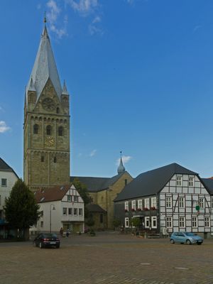
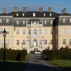
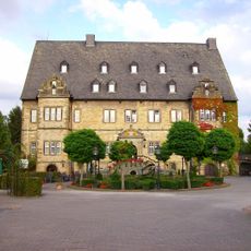
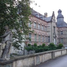
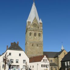
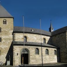
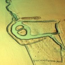
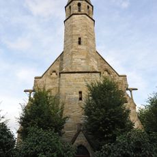
Erwitte, town in the district of Soest, in North Rhine-Westphalia, Germany
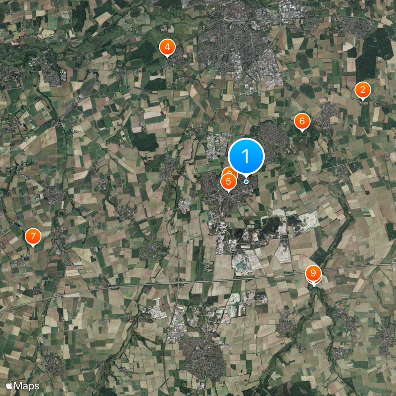
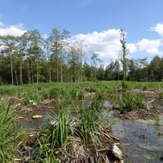
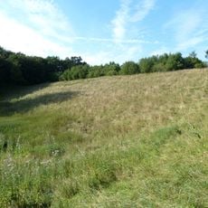
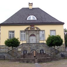
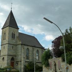
Erwitte is a municipality in North Rhine-Westphalia located in the Soest district. It consists of several villages spread across a mix of rural areas, residential zones, and farmland.
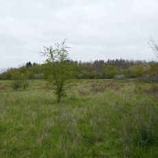
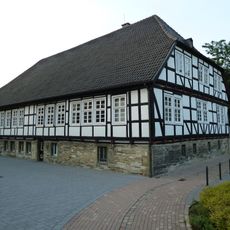
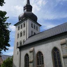
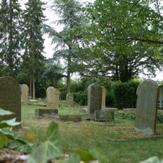
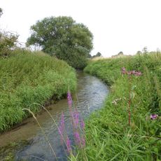
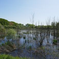
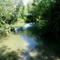
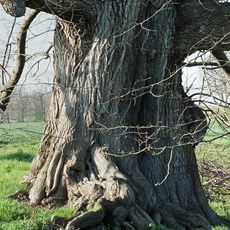
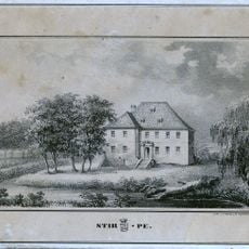
Erwitte developed as a rural settlement in an agricultural region of Westphalia. It maintains its connection to the local history and structure of the Münsterland area through its villages and landscape.
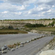
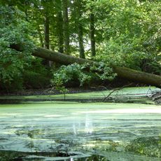
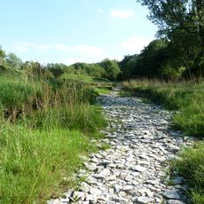
The municipality is easily reached by car and connects to regional roads in the Münsterland area. Visitors can explore the individual villages at their own pace and enjoy the rural surroundings on walking trails.
The community of curious travelers
AroundUs brings together thousands of curated places, local tips, and hidden gems, enriched daily by 60,000 contributors worldwide.